


Blog 28
13th – 14th August
Sarhad-e-Broghil to Lake Chakmaktin (Little Pamir, Afghanistan)
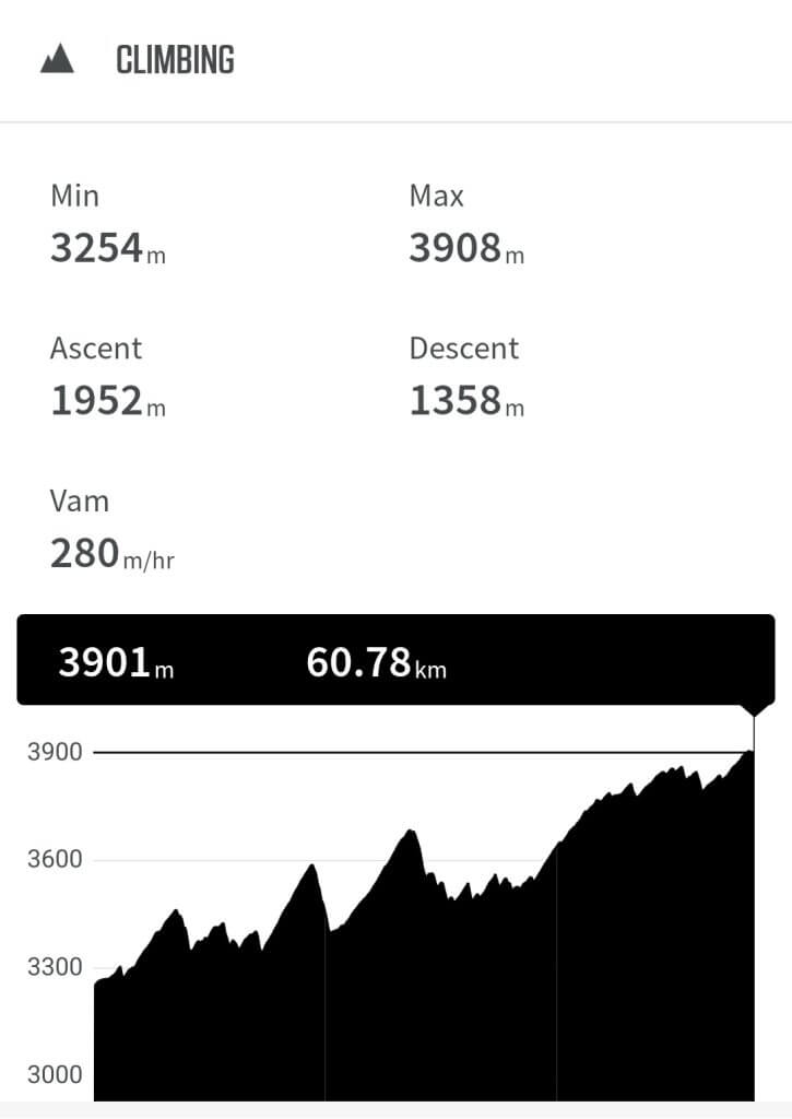
Distance: 89km
Total Distance: 8970km
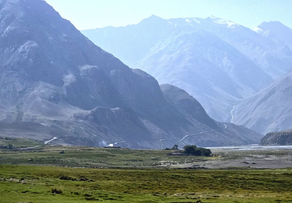
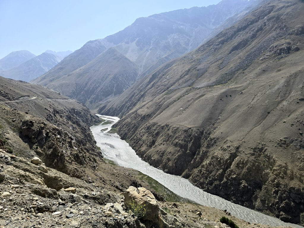
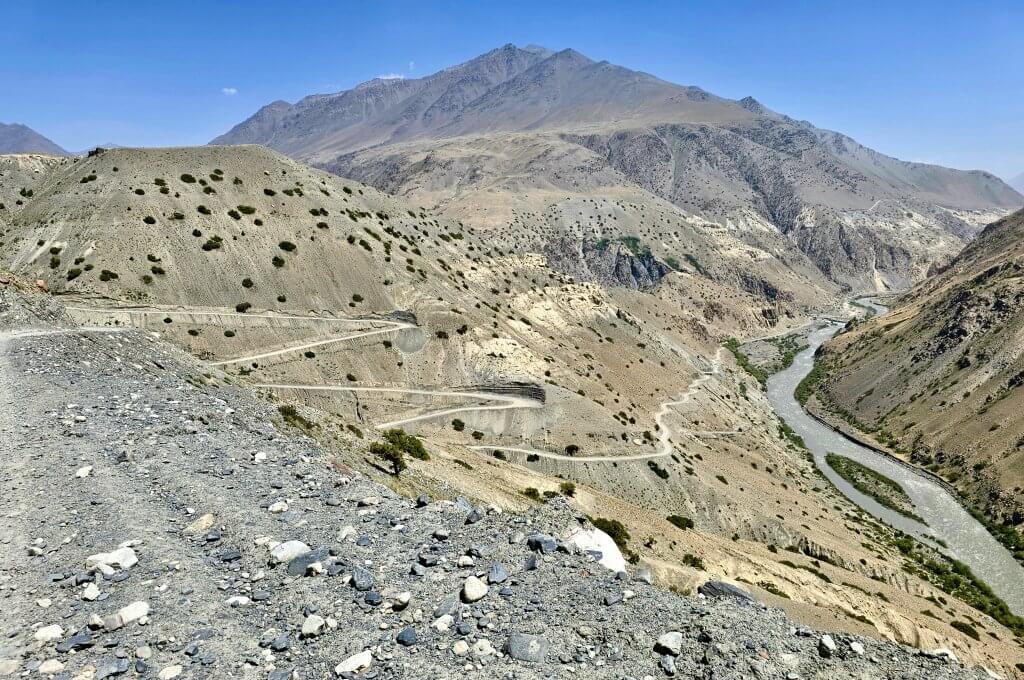
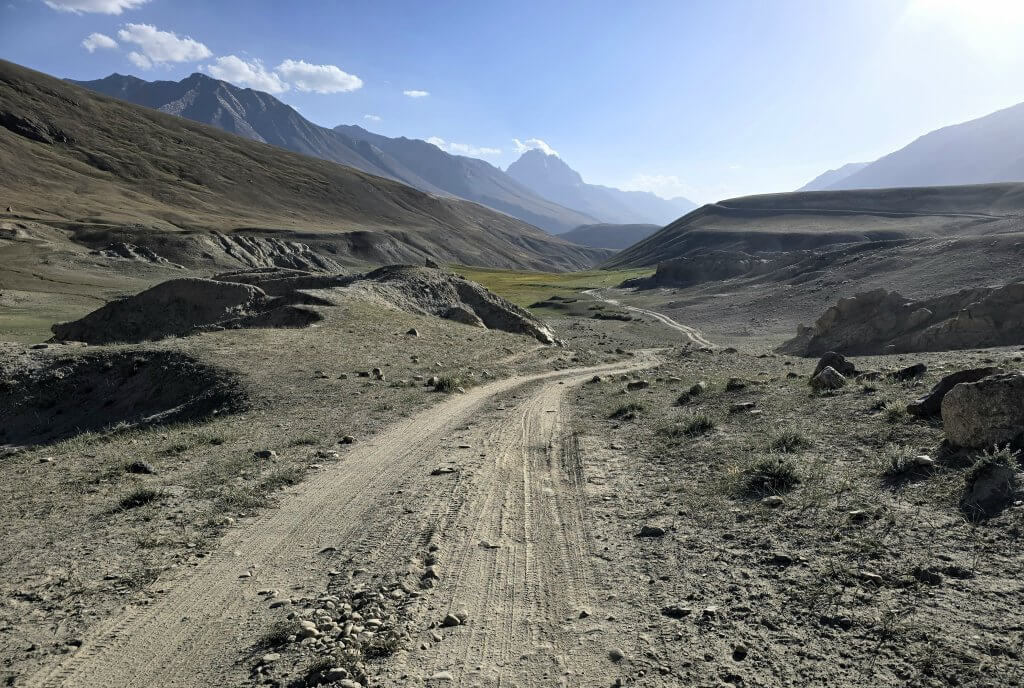
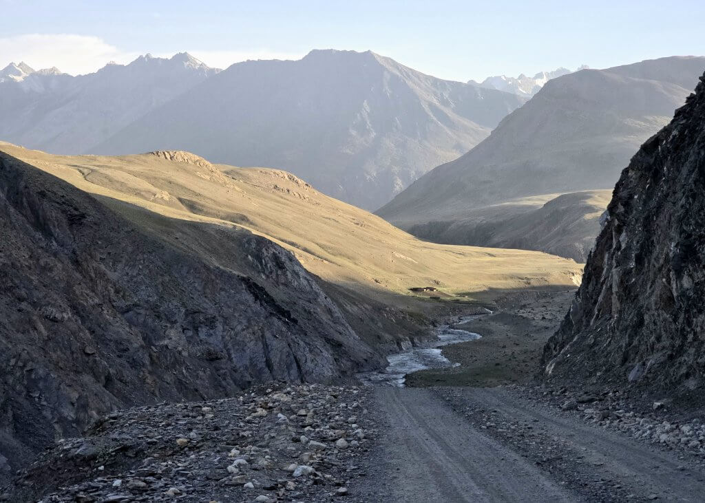
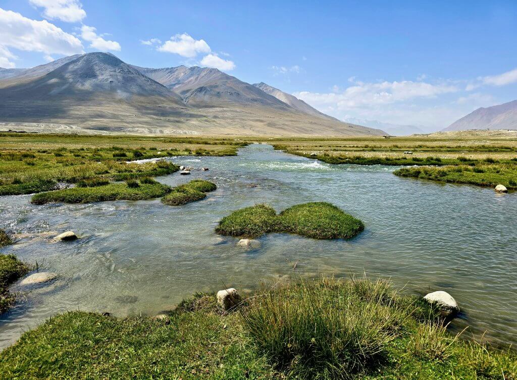
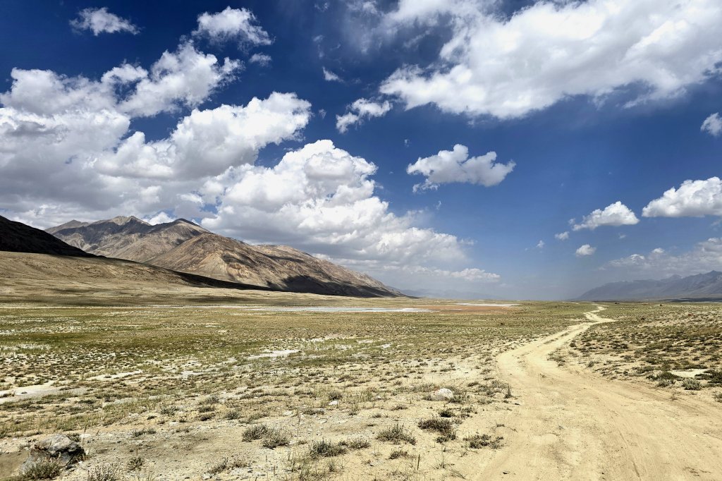
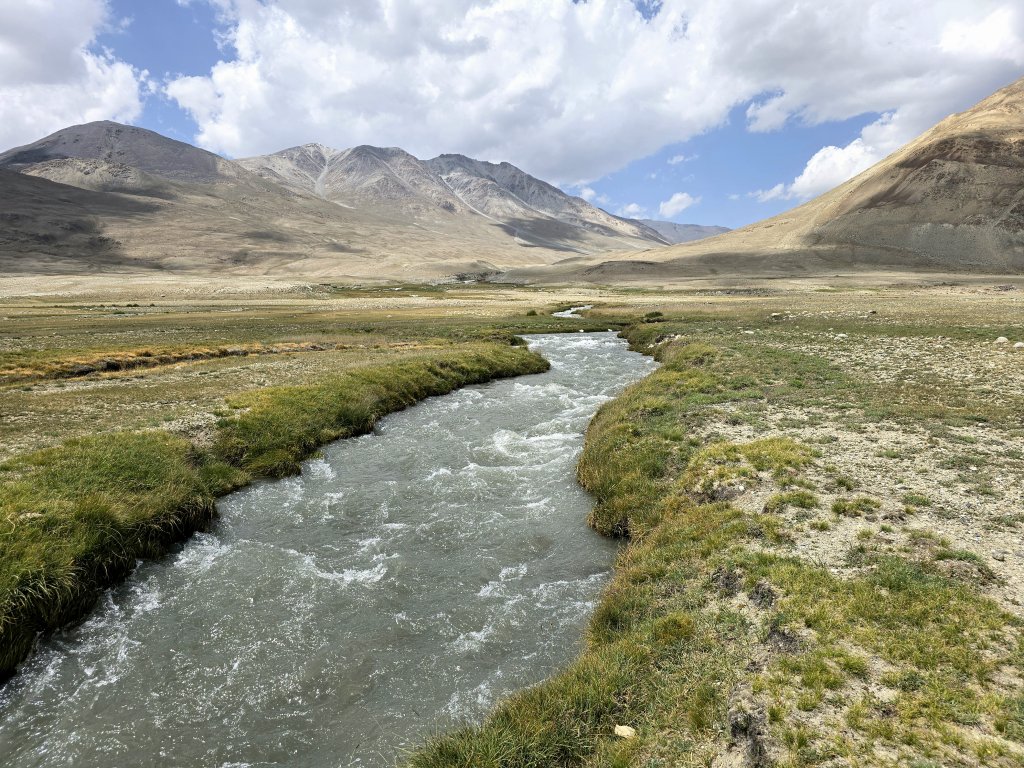
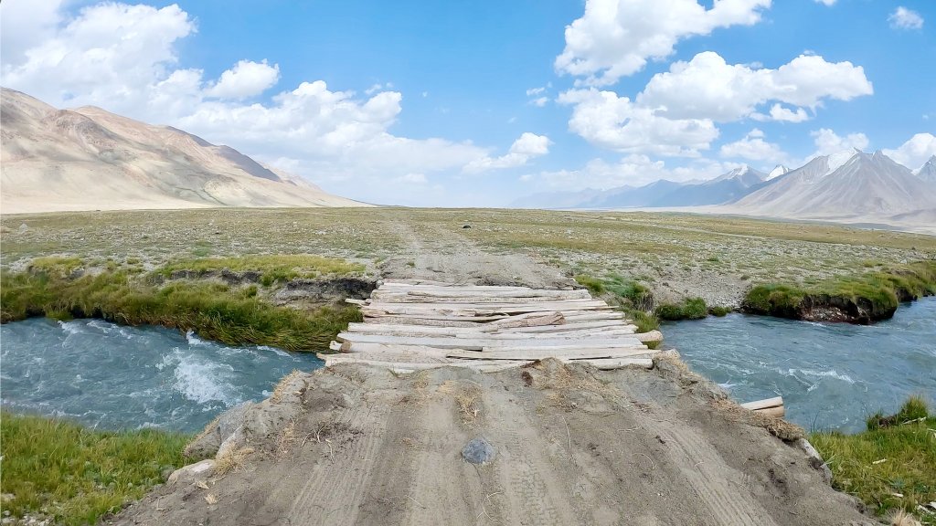
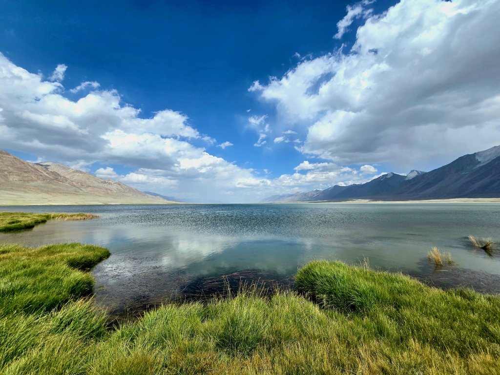
Up until 2023, Sarhad was the end of the line, the road stopped there. Accessing the eastern half of the Wakhan Corridor, a region known as the Little Pamir, could only be done on foot, usually with donkeys to carry the load. Two years ago, the Taliban built a gravel road connecting Sarhad to the Chinese border at the eastern extremity of the corridor. It is an ambition of the Taliban and China to eventually reopen the border at the Wakhjir Pass – an ancient trade route that Marco Polo is believed to have travelled on his odyssey to China. My plan was to cycle the route, which traces the course of the Wakhan River, as far as Bozai Gumbaz (69km) and then follow smaller tracks across the high plains of the Little Pamir to Lake Chakmaktin, one of the sources of the Oxus/Amu Darya, where I would finish my cycling expedition. This may only be one and a half days worth of riding, but the section deserves its own blog – it is such a big story.
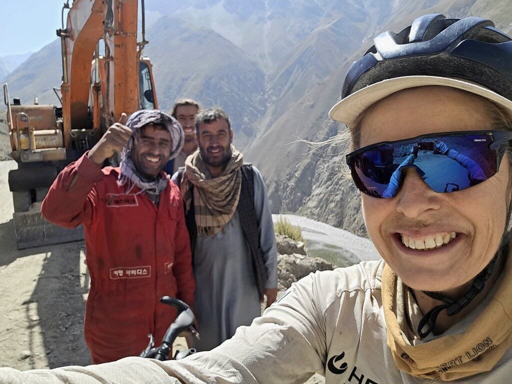
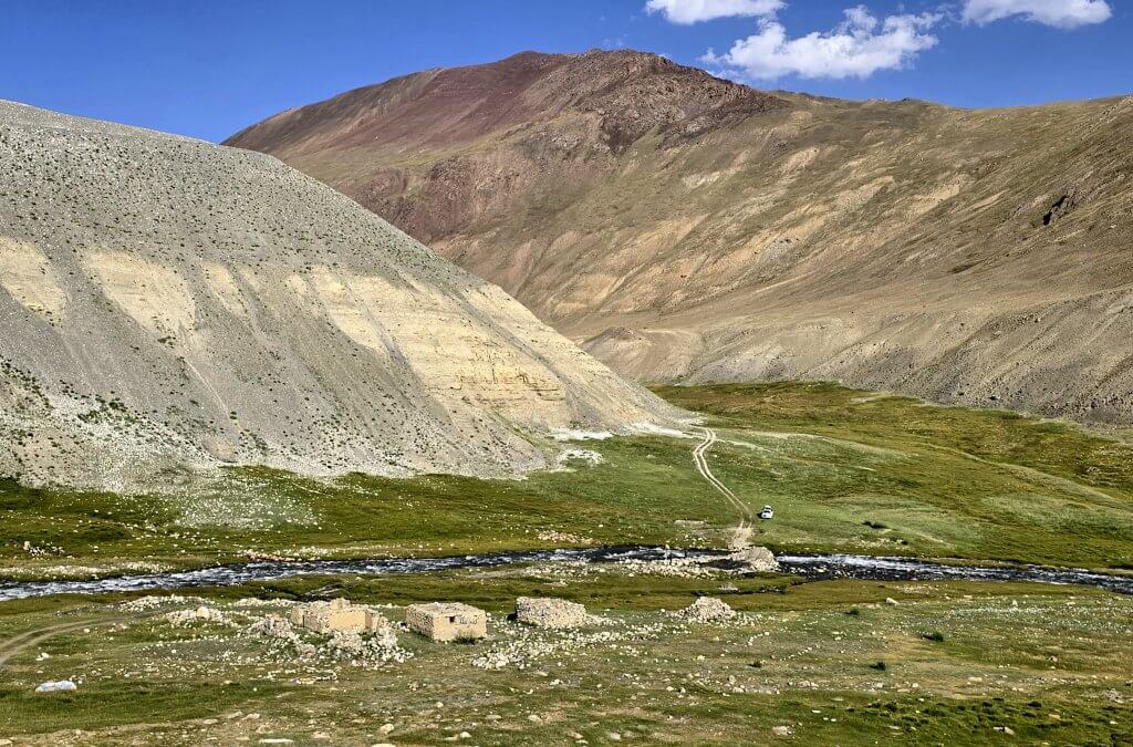
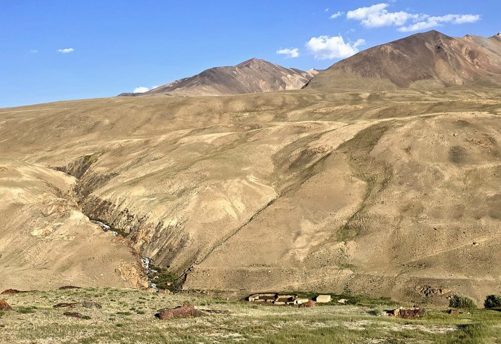
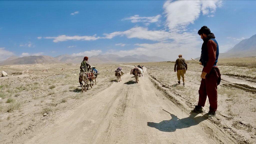
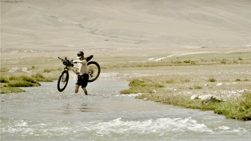
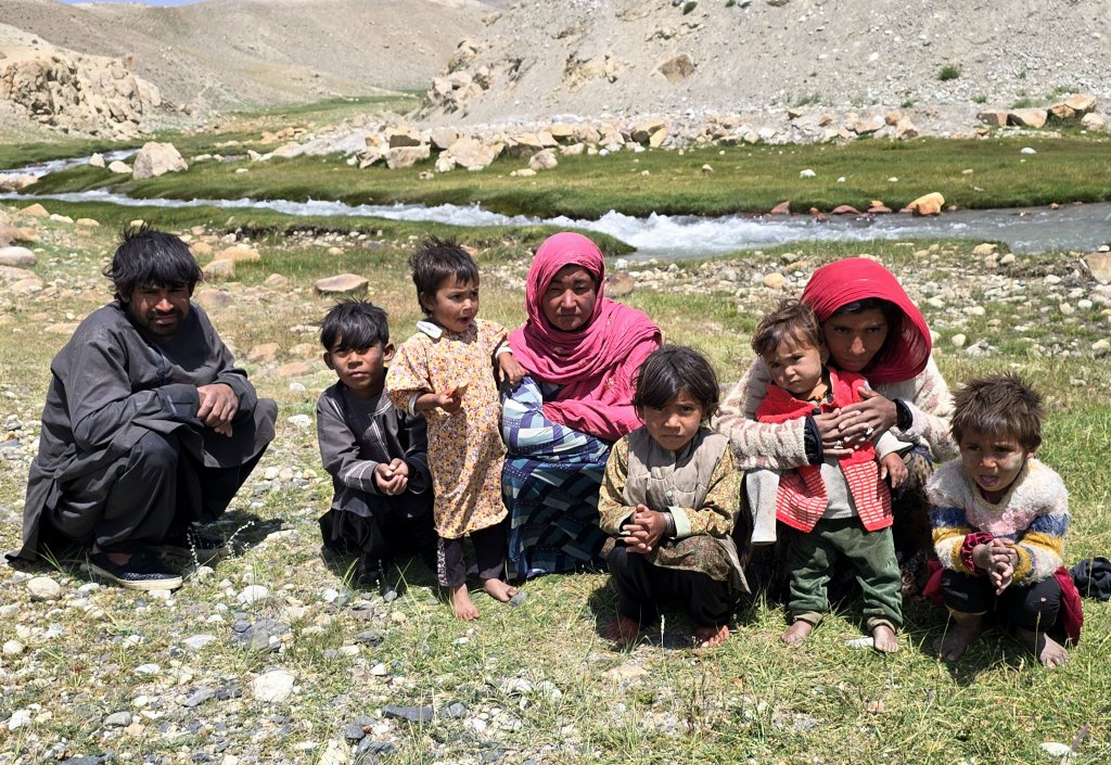
As there are no permanent settlements east of Sarhad, Malang hired a donkey handler with his two donkeys for the trek I planned along the Chelab Stream to search for the true source of the Oxus/Amu Darya at the conclusion of the cycle expedition. The “donkey man” set off before us at 2.30am in order to reach the start point of our trek, about 82km away, in two days time. By comparison, I started pedalling at the leisurely time of 8.30am. Having not had a day off since being in Afghanistan, I was physically tired but mentally I felt fully prepared for the huge challenge ahead.
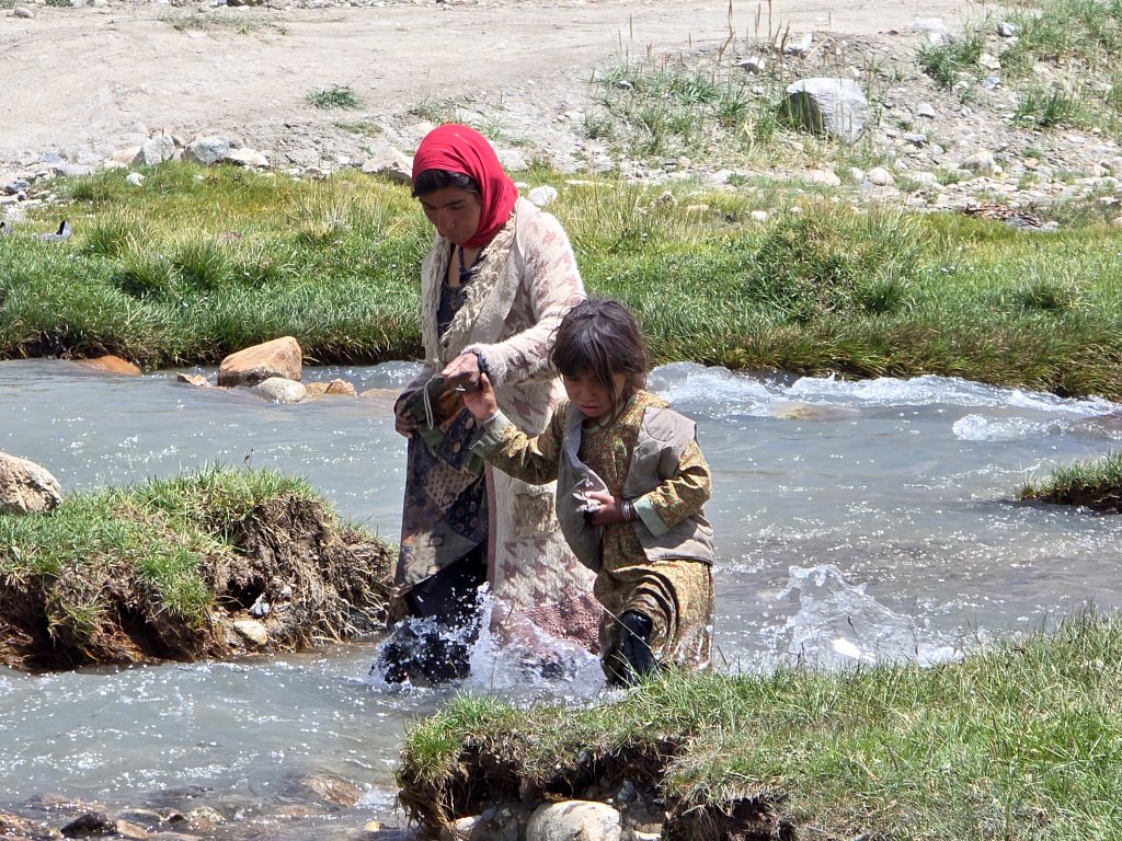
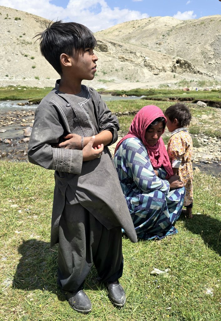
I set off ahead of the team, cycling through the sparse Sarhad settlement and grassy plains where locals, mostly women and children, were tending to their flocks. On spotting me, children would run towards me, asking for pens and books – but of course I couldn’t help them.
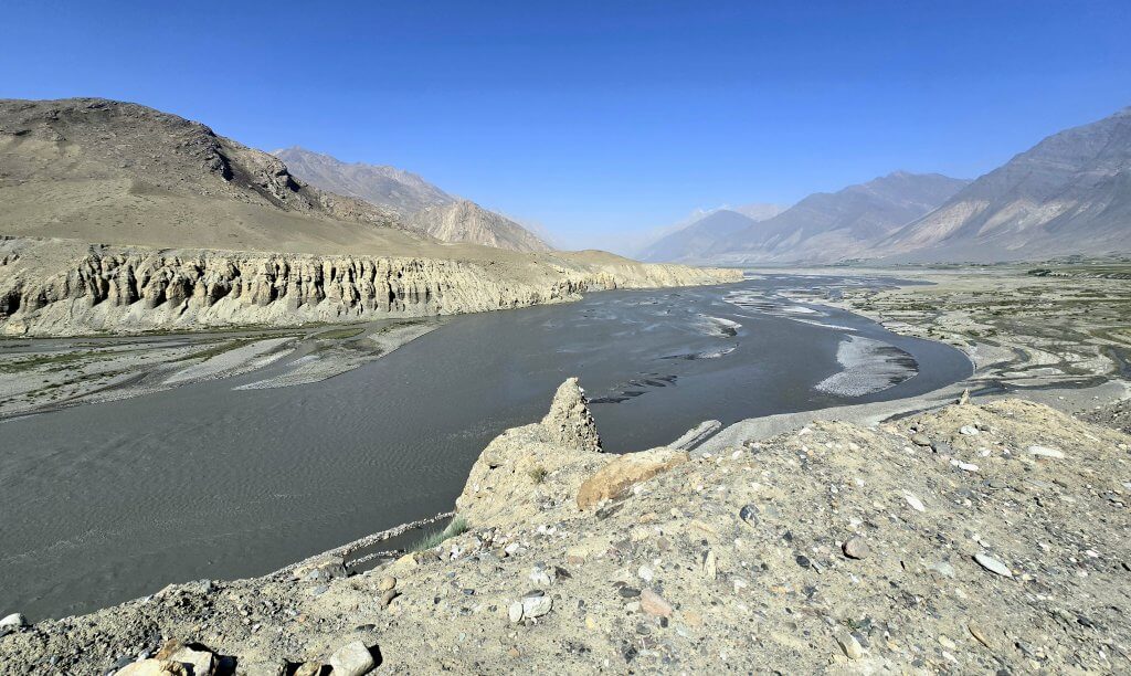
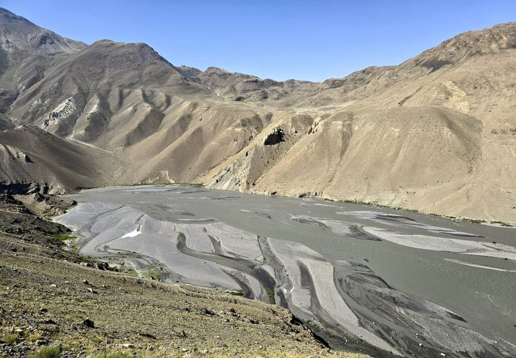
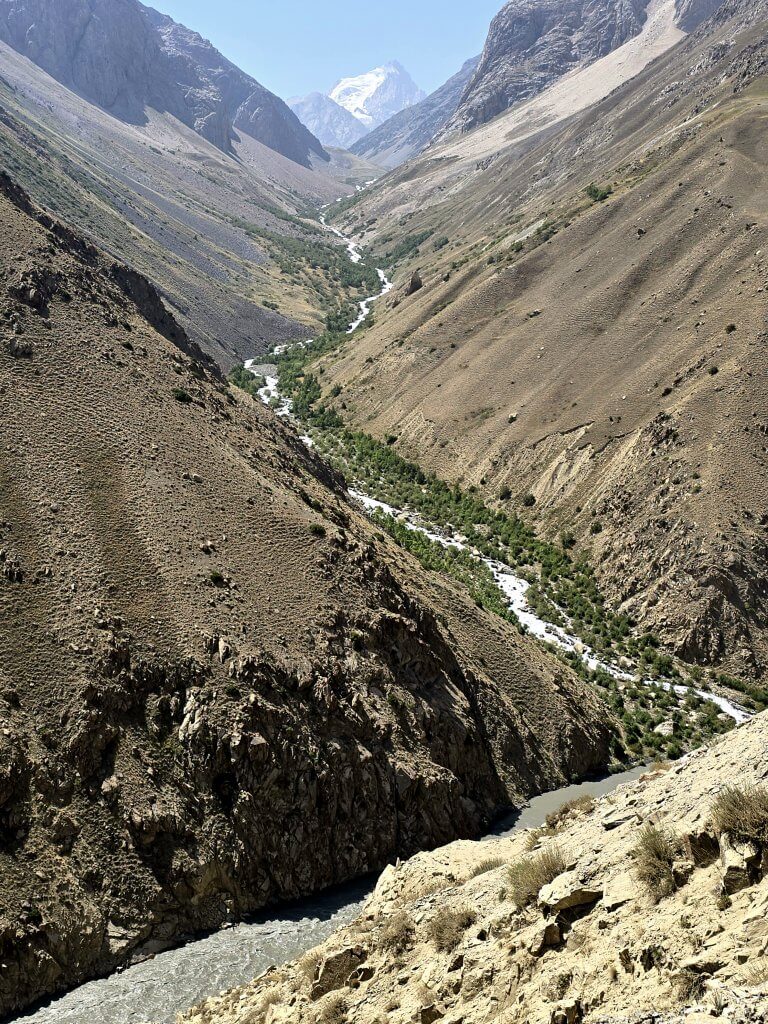
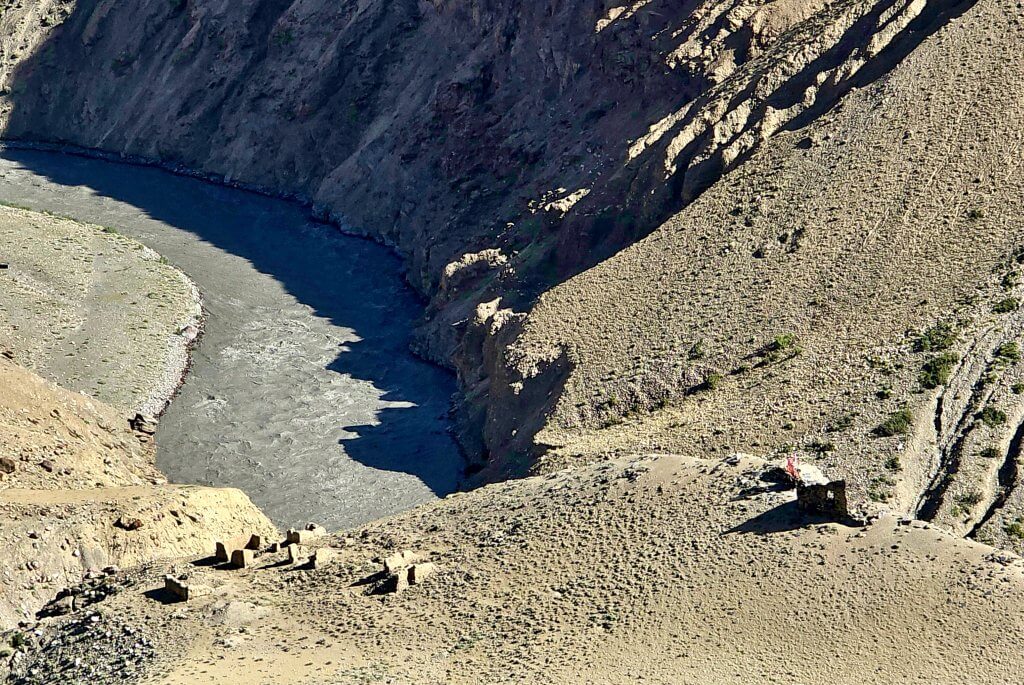
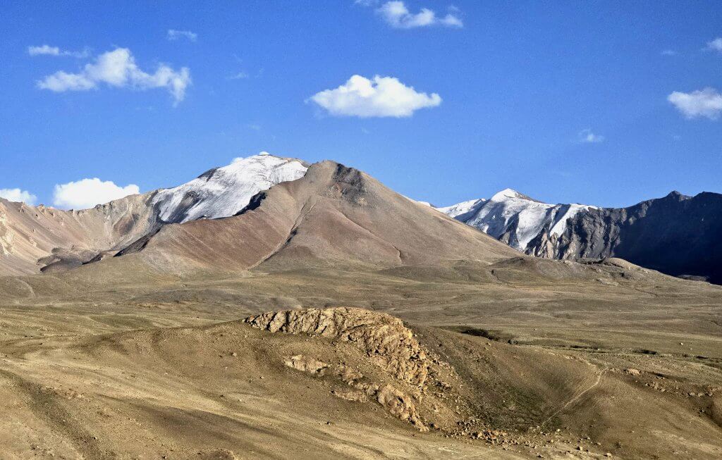
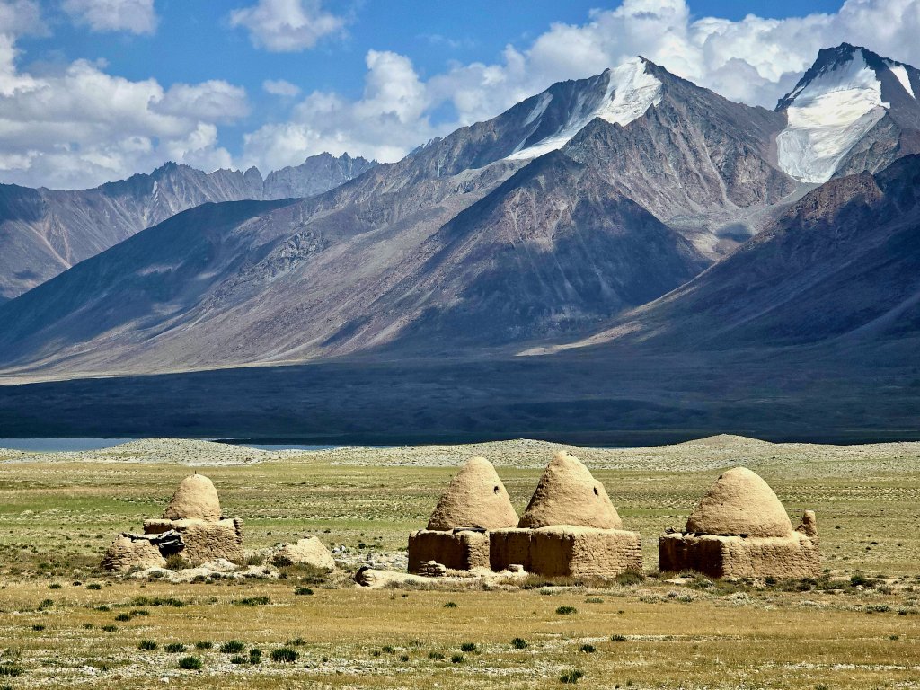
Bozai Gumbaz lies near the confluence of the Wakhjir and Little Pamir or Bozai rivers that join to form the Wakhan River. The new road turns to the south and along the Wakhjir Valley, gradually ascending over 50km to the Wakhjir Pass at almost 5000m elevation. The pass, that forms the border with China, has been closed since Mao Tse Tung came to power in 1949. Slightly further up the valley is an ice cave with water flowing out of a glacier. The cave was discovered in 1893 by Lord Curzon, the president of the Royal Geographical Society, who claimed he had discovered the true source of the Oxus. My original plan was to visit the ice cave before finishing my cycling journey at Lake Chakmaktin and therefore visit another source of the Oxus but the Taliban has closed the region to travellers. I could see construction vehicles heading up the valley, so maybe the road hadn’t been completed.
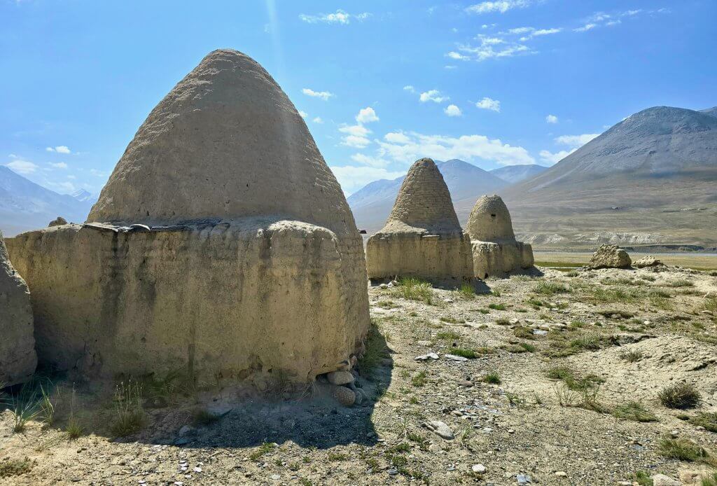
In 1891, near the Bosai Gumbaz tombs, a famous encounter took place between representatives of the three superpowers at the time: Great Britain, Russia and China. It was the height of the Great Game, when the imperial British and Russian empires competed politically for control over Central Asia. British captain and spy, Sir Francis Younghusband, Russian Cossack Colonel Mikhail Ionov and the British Consul General in Kashgar, Sir George Macartney shared a lavish meal with plenty of vodka, wine and brandy before sparking the so-called Pamir Incident (the Russians expelled Younghusband from what they perceived as their territory) and narrowly avoided war. Ultimately though, it led to the creation of the Wakhan Corridor as a buffer zone between the two empires, a peaceful outcome that has remained to this day.
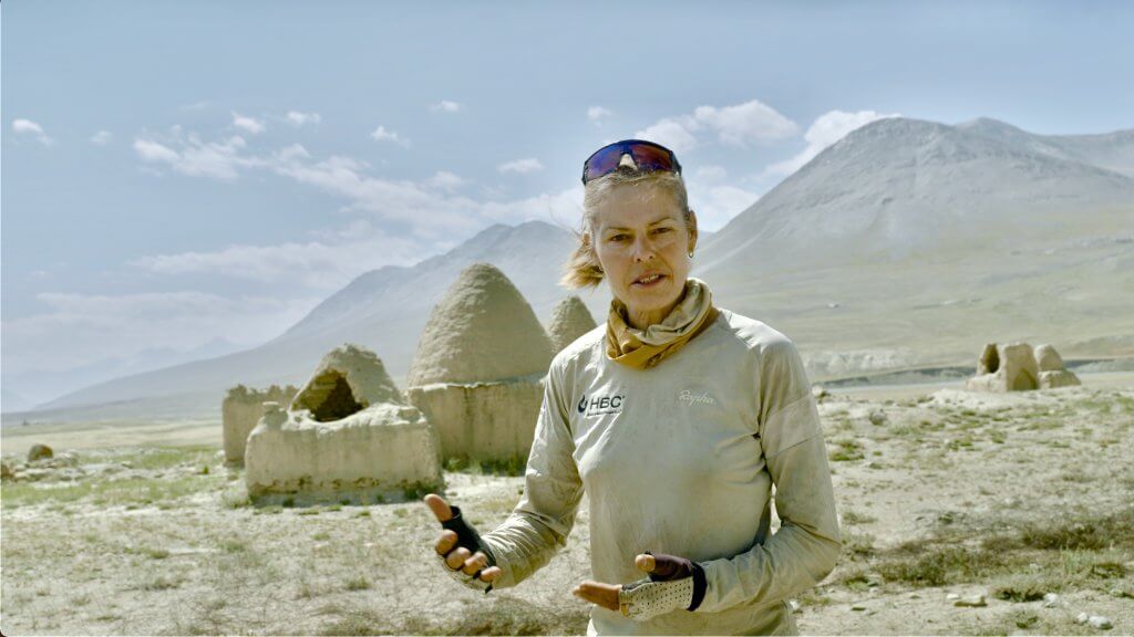
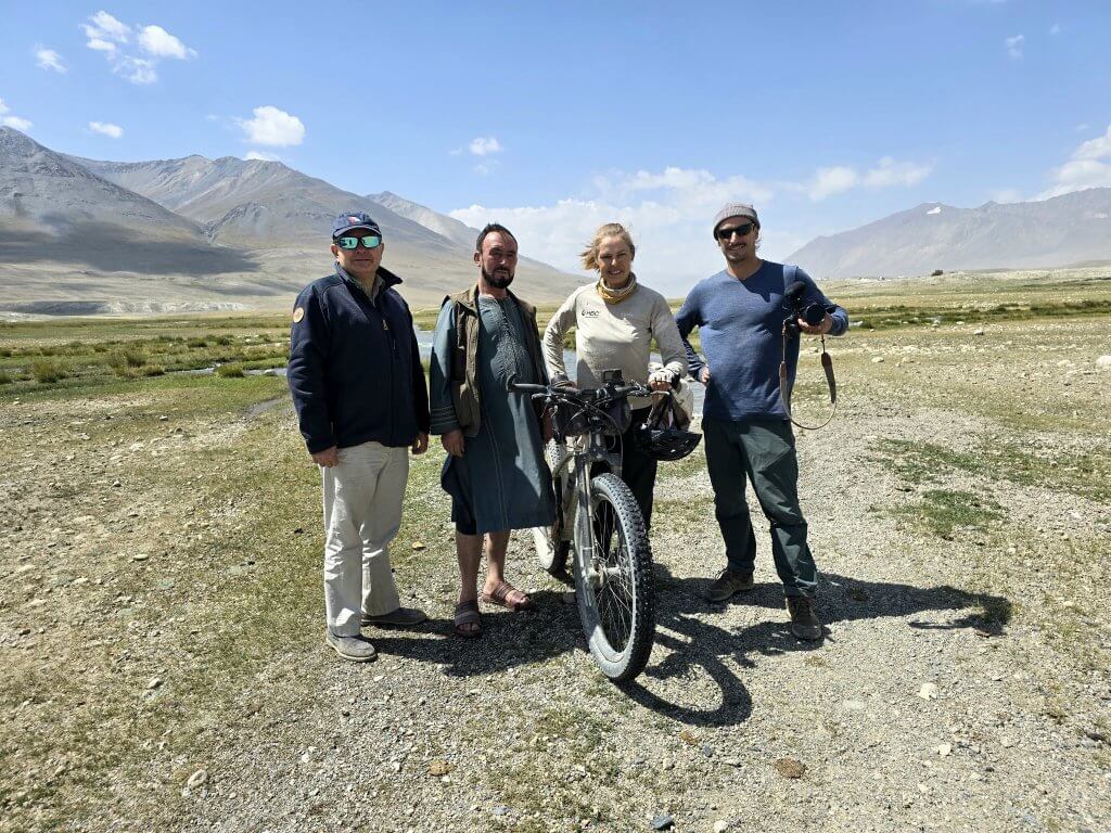
It was great to have Rupert with us for this part of the journey in particular. His passion for the “Roof of the World” and knowledge of the history and geography of the Wakhan Corridor, especially the Little Pamir really helped to heighten a sense of the importance of the region as we travelled through it. To finish my journey at Lake Chakmaktin (another source of the Oxus) and the potential addition of a new chapter in the search for the true source of the Oxus/Amu Darya was very exciting – the whole team was excited.
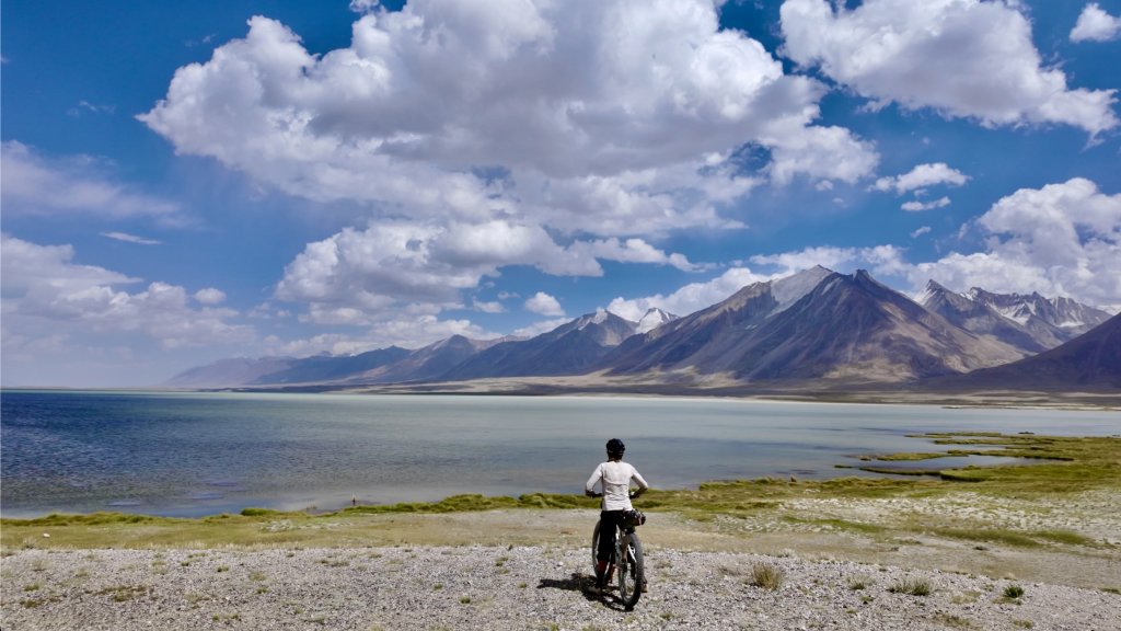
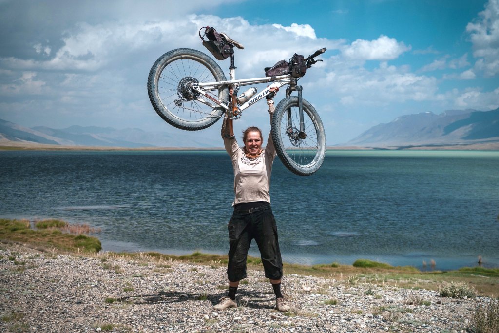
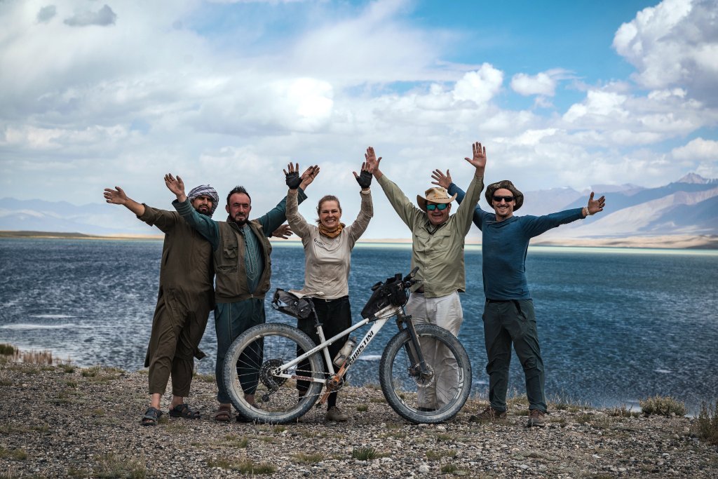
While the cycle journey had finished, there was still the finale to go – a trek up the Chelab Stream to determine the true source of the Oxus (Amu Darya). Stay tuned for the last blog.
PLEASE TAKE ACTION
THIS IS THE LAST MONTH OF MY CAMPAIGN FOR WATER.ORG. WE HOPE MORE PEOPLE WILL CONTRIBUTE AND GIVE WATER.ORG A BIG BOOST!
Support my Water.org fundraiser to help bring safe drinking water and sanitation to the world: Just $5 (USD) provides someone with safe drinking water or access to sanitation, and every $5 donated to my fundraiser will enter the donor into the Breaking the Cycle Prize Draw. https://give.water.org/f/breakingthecycle/#
FOLLOW THE JOURNEY
Thanks to ZeroSixZero, you can open this URL on your phone and select “add to home screen” and the map will become and app. You can then keep updated in real time: https://z6z.co/breakingthecycle/central-asia
EDUCATION
An education programme in partnership with Exploring by the Seat of Your Pants, with contributions from The Royal Geographical Society and The Duke of Edinburgh’s International Award Australia. We have created a Story Map resource to anchor the programme where presentations and updates will be added as we go.


Leave a Reply