


Blog 18
14th – 19th June
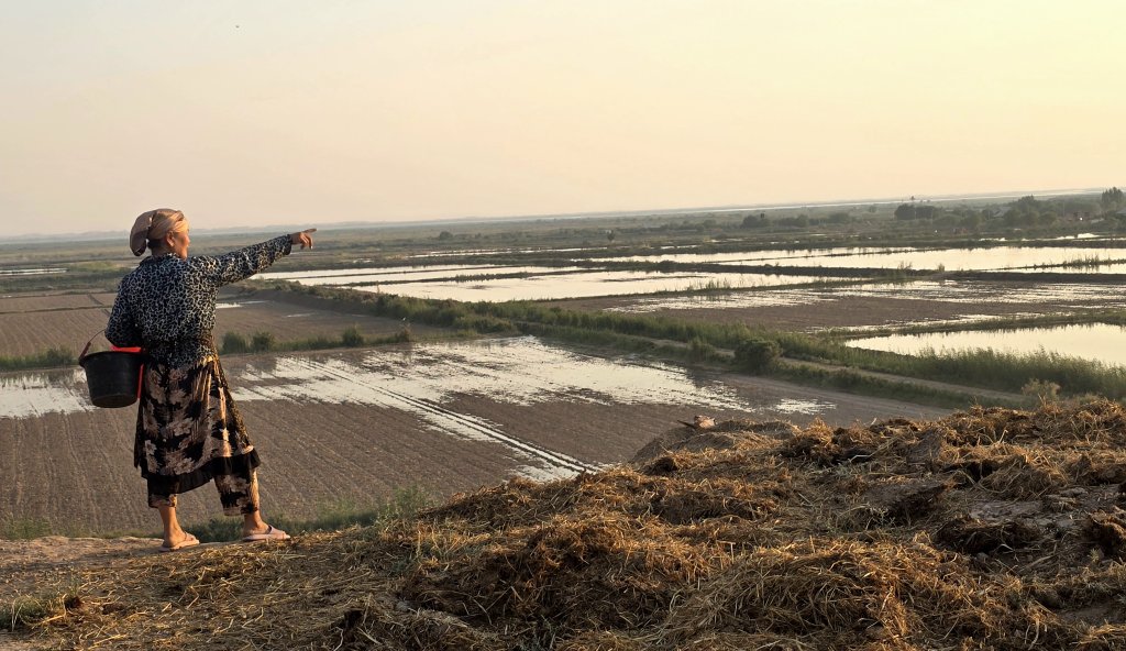
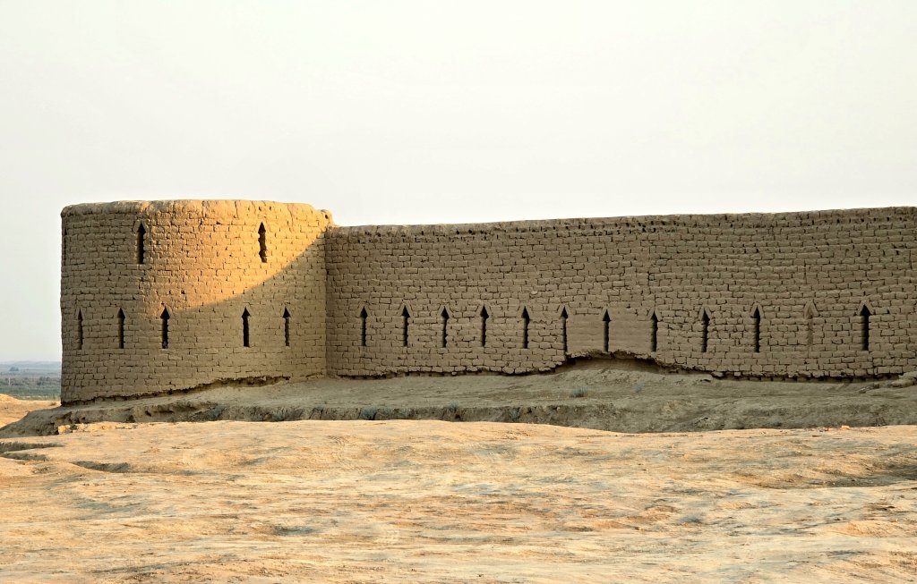
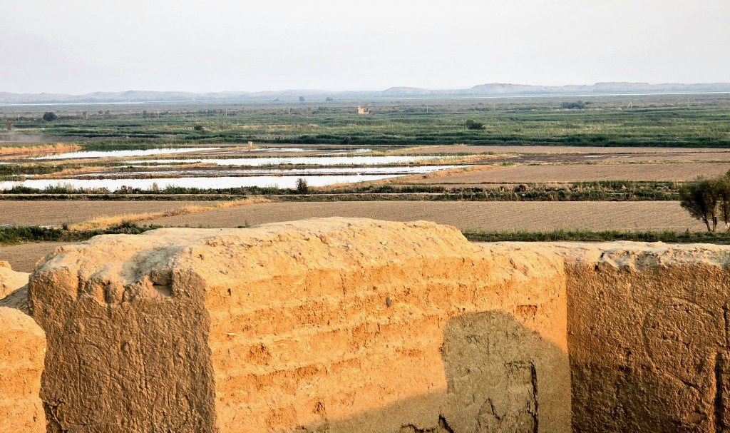
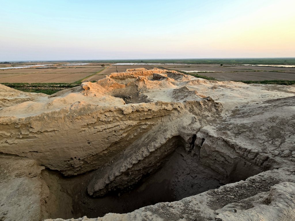
Urgut to Termez
Distance: 403km
Total Distance: 5293km
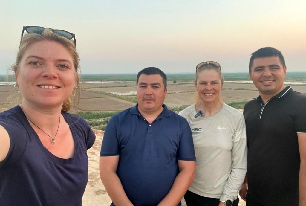
Back in Uzbekistan with the new team, Georgia (just returned from the UK), Ilhom and Mansood, the aim over the next four days was to reach the city of Termez on the Amu Darya. Apart from the tourist town of Shahrisabz, there wasn’t that much information available about the region. To the west of my route was the Kyzylkum Desert and to the east, the Pamir mountains. To ride from Urgut to Termez I would have to traverse the fringe of the Fann Mountains, a part of the western Pamir-Alay mountain system. There were three passes to cross before I’d enter the ancient region of Bactria of which Termez is central.
Day 83, Urgut to Shahrisabz, 81km
From Urgut I headed west and then south in the direction of Shahrisabz, the place of Timur’s birth. Looming was Kitob Pass, the first significant mountain pass I’ve had to do on the expedition (though many more to come). After a few warm up ascents in the rolling foothills of the mountain, I settled into a climbing rhythm – the road was busy but good quality and the gradient wasn’t too steep – mostly between 5 and 6 percent. I really enjoyed the ride, winding my way through small villages with a flowing stream and irrigation channels and a leafy green landscape. At the summit, 1670m, there was a bazaar selling local produce mostly.
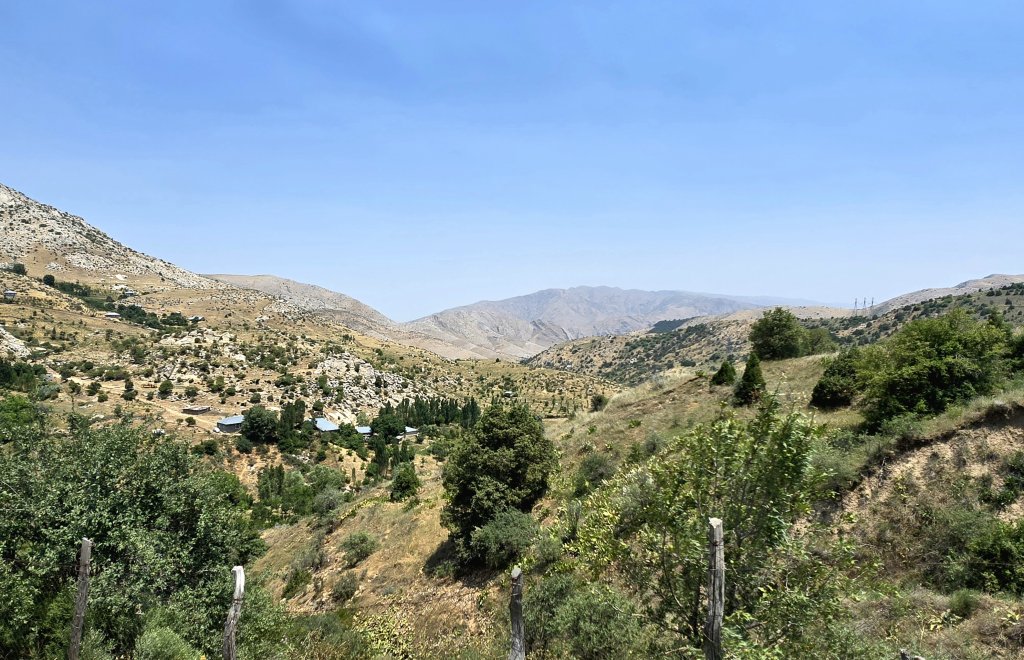
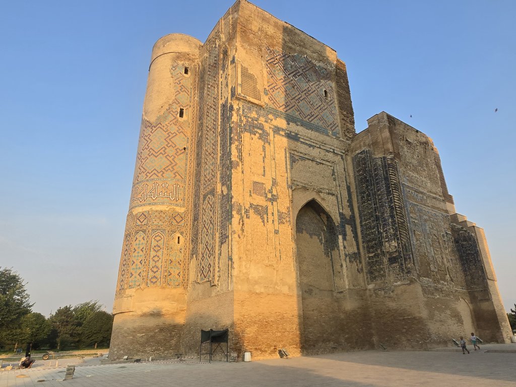
Descending the mountain, and on to the plains, I noticed an abrupt change of the conditions. I was immediately into a dry, sunburnt land with a hot wind coming from the desert to the west. Shahrisabz is a popular day trip from Samarkand and the area is very built up and busy. The main attraction is Timur’s “home” palace. A UNESCO World Heritage Site, parts of the building are now being restored and protected. and funds have been put into a beautiful park for locals and visitors to appreciate. There was also Timur’s mosque, the place where he was supposed to have been buried. Snow blocking the same mountain pass I had just crossed prevented Timur’s body from being returned to Shahrisabz in 1405 and he was buried in Samarkand. Having visited the place where Timur died (in Ottrar, Kazakhstan), and the place where he was buried in Samarkand, it was fitting to visit the place where he was meant to be buried.
Days 84 – 86 Shahrisabz to Termez (118km, 117km, 59km)
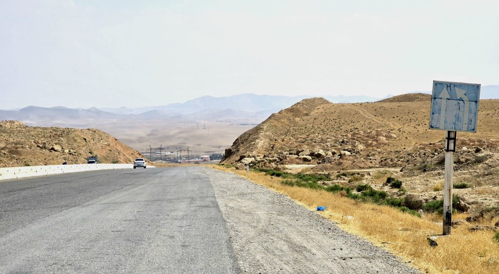
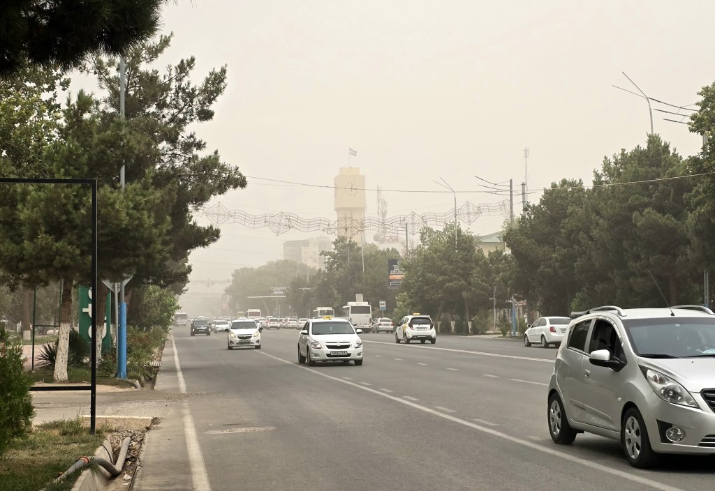
Out of Shahrisabz I was in open plains with the silhouette of a mountainous wall to my left. I was trying to pace myself, not because the terrain was difficult, but because of the searing heat. There was no shelter, just a roadside cafe with a fan after 40km. The water in my drinking bottles was just about hot enough to add a teabag! I resorted to my old trick of fitting a wet sock over each bottle to cool the water by evaporation. It made a huge difference as my water became palatable. After 70km, I turned onto the very busy main highway to Termez. According to Masood (driver), the temperature hit 45C as I climbed an 850m pass on some very rough tarmac with a constant stream of trucks to avoid. It is always fun to pass some of them on the way down though.
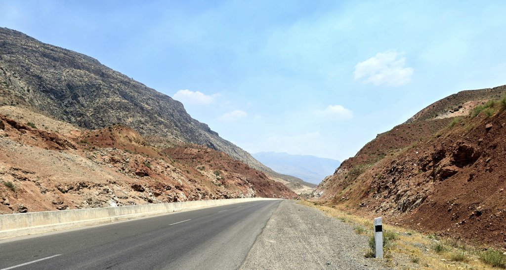
The following day out of Dekhanabad, there was a long 27km ascent to reach 1570m, and then another sharp 3km climb before I started descending towards Sherabod. The heat was still somewhere in the mid-40s in the shade.
Georgia was having trouble being granted her Tajikstan visa – the online application form wasn’t able to be processed for about 10 days as the system was down. Alisho, who is coordinating our journey through Tajikistan, had tried everything. Then he heard that another British tourist had success by visiting the Tajikistan embassy in Tashkent. I immediately bought her a return flight to Tashkent. A huge amount of patience was required by Georgia the following day, but she was successfully granted her visa and we only lost a day – which I used to rest and catch up on administration.
Leaving Termez, I had 55km to cycle to reach the Tajikistan border, but I need to post this blog now and get another done while I have good internet connectivity.
FOLLOW THE JOURNEY
Thanks to ZeroSixZero, you can open this URL on your phone and select “add to home screen” and the map will become and app. You can then keep updated in real time: https://z6z.co/breakingthecycle/central-asia
TAKE ACTION
Support my Water.org fundraiser to help bring safe drinking water and sanitation to the world: Just $5 (USD) provides someone with safe drinking water or access to sanitation, and every $5 donated to my fundraiser will enter the donor into the Breaking the Cycle Prize Draw. https://give.water.org/f/breakingthecycle/#
EDUCATION
An education programme in partnership with Exploring by the Seat of Your Pants, with contributions from The Royal Geographical Society and The Duke of Edinburgh’s International Award Australia. We have created a Story Map resource to anchor the programme where presentations and updates will be added as we go.


More illuminating reporting, Kate. This is a grand epic.
It would help to get the places you refer to onto the map. I have passed this blog on to several people who do not know Central Asia and they find it hard to follow the route on the map….(e.g show what is blue line. what is red line etc. and add names of all the places mentioned in blog).