


Blog 23
17th – 20th July
Arabel Suu Plateau to Naryn (Kyrgyzstan)
Distance: 201km
Total Distance: 7276km
As those who are following my blog will know, this is an expedition from the SOURCE (of the Syr Darya) to the (Aral) SEA to the SOURCE (of the Amu Darya). There are just two stages to go. One starts in Kyrgyzstan from the source of the Naryn River, the primary tributary of the Syr Darya and the other finishes at the true source of the Amu Darya in the Wakhan Corridor, Afghanistan. Given my expedition had to start in March to fit with the seasons, it wasn’t possible to start the expedition at the source of the Naryn River because all passes would be blocked by snow at that time of year.
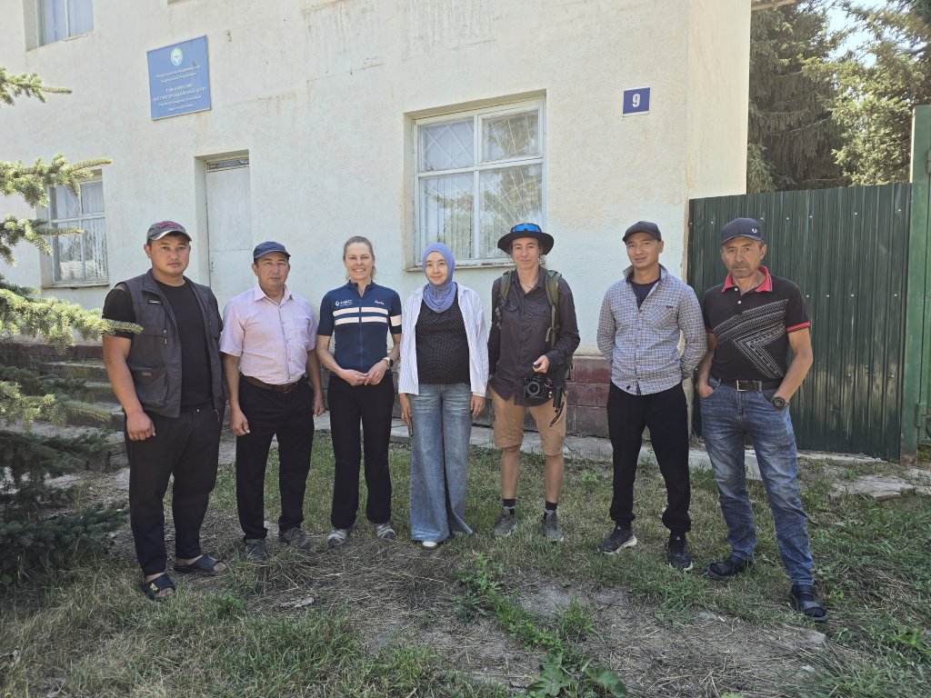
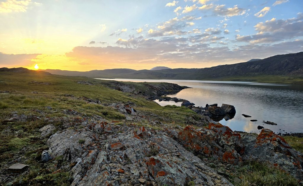
From Dushanbe, I flew to Bishkek, the capital of Kyrgyzstan, collected my team – Sasha is back as the driver and Anna has returned to film this section. From Bishkek we drove to Lake Issyk-Kul – the second largest saline lake in the world, lined with extremely high mountains of the Tien Shan. The aim was to stay in Kyzyl Suu village at the eastern end of the lake to meet scientists at the Tien Shan High Mountain Research Centre. As 2025 is the International Year of Glacier Preservation and glaciers account for 80 percent of all water flowing through the Aral Sea Basin (including the Syr Darya and Amu Darya), I wanted to find out more about how the glaciers are fairing in the Naryn River catchment area.
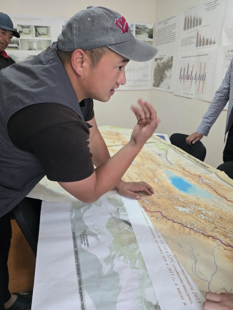
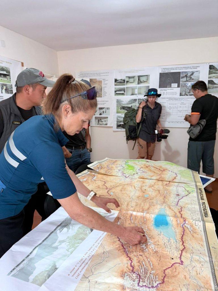
His team has been making a longitudinal study measuring the thickness and size of different glaciers throughout their annual cycle, as well as temperatures. Salamat said, over the last decade, the mean temperature had increased by 0.8C!
I knew roughly where the source of the Naryn River was on the Arabel Suu plateau, but Salamat pinpointed the source as a particular lake, “Green Lake”. From the research centre we headed into the mountains via Barskoon Pass, over 3800m.
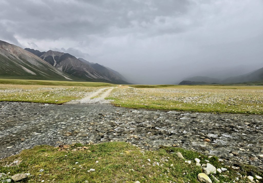
As the source of the Naryn/Syr Darya is the real start point of my expedition, we spent two and a half hours filming in the windy, chilly conditions on the Arabel Su plateau.
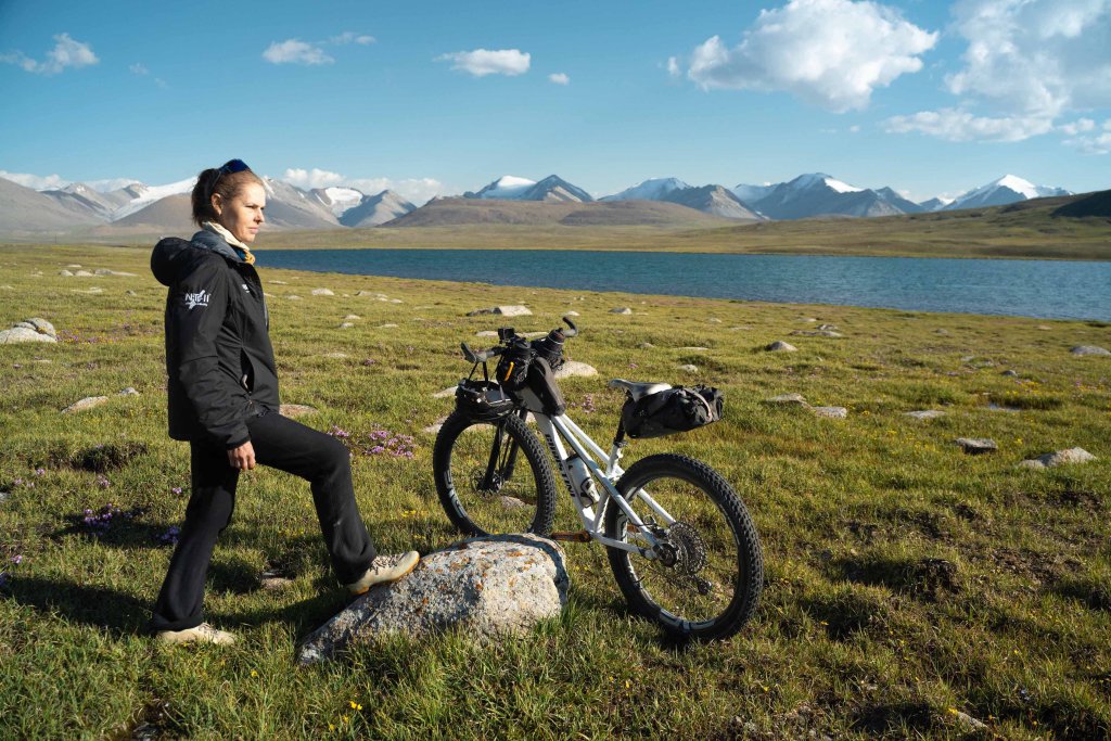
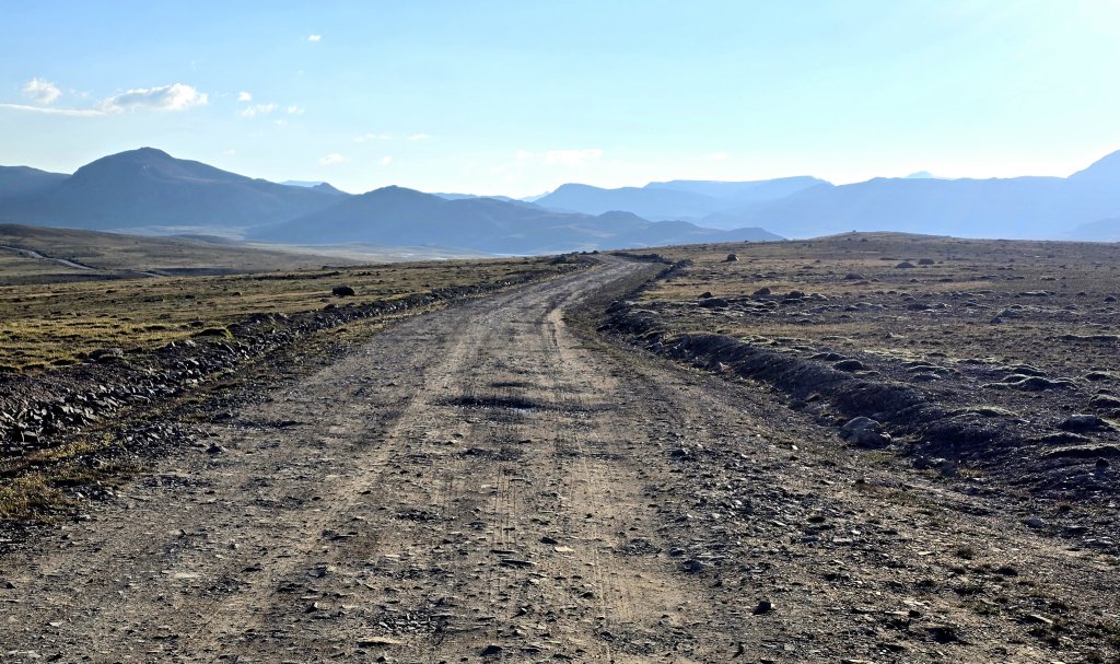
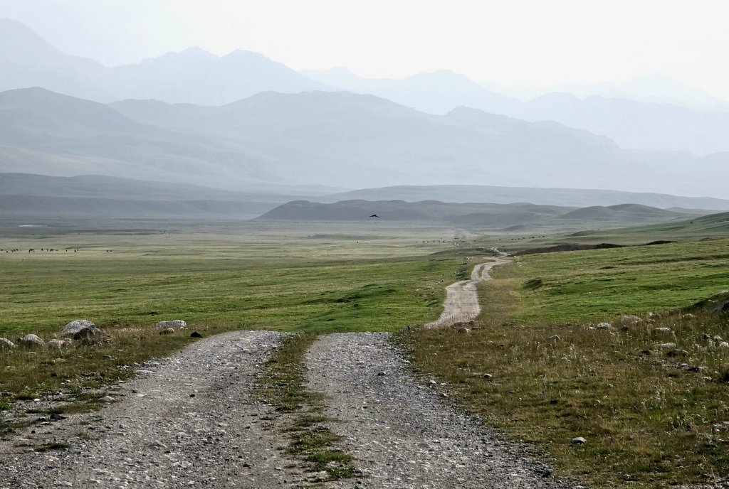
Day 118: Arabel Su plateau to camp, west side of the river -71km
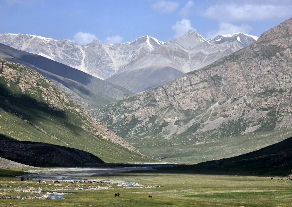
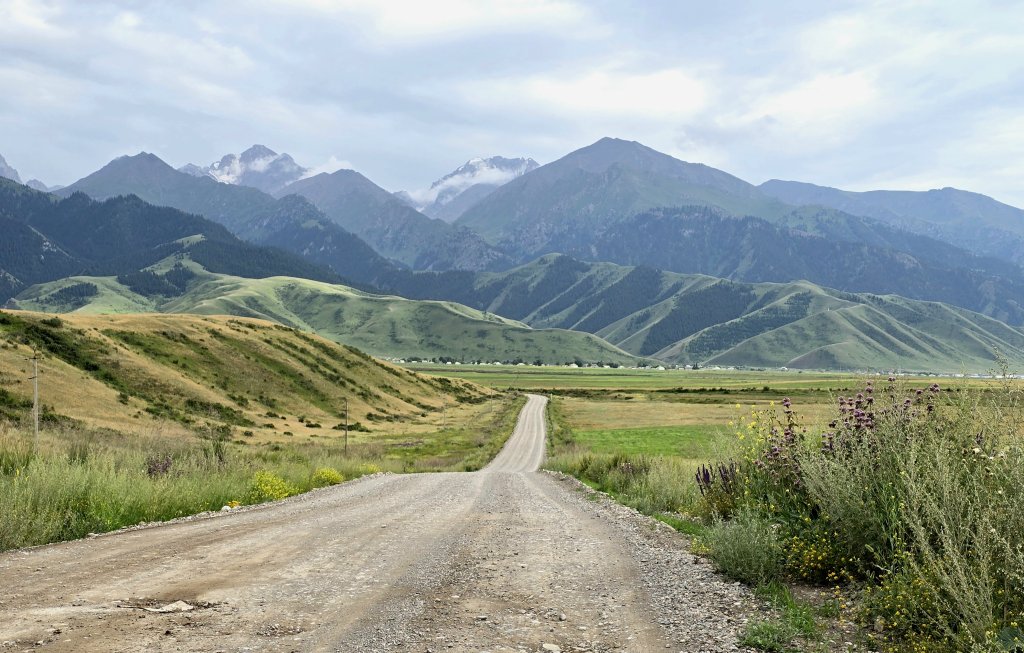
The Tien Shan are quite different to the stark, dry Pamirs. The geology is different and the green grassy high plains and cover on the mountains feel like Switzerland in some ways (but higher).
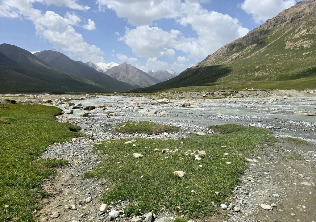
The forecast was for heavy rain at around 6pm. I really wanted to finish this 64km section before the rain muddied the track and filled the rivers that would make crossing them more hazardous.
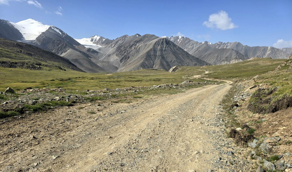
Day 119 Camp – Naryn town 119km
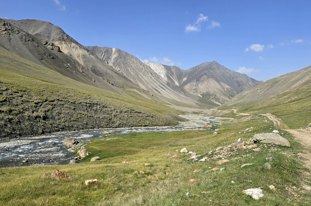
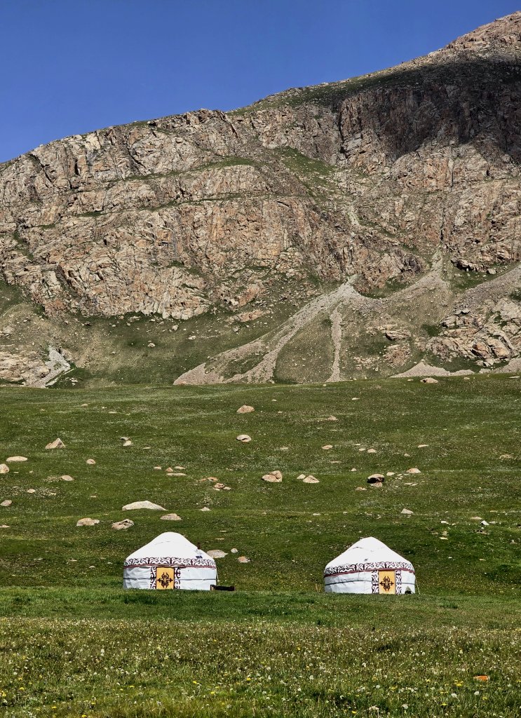
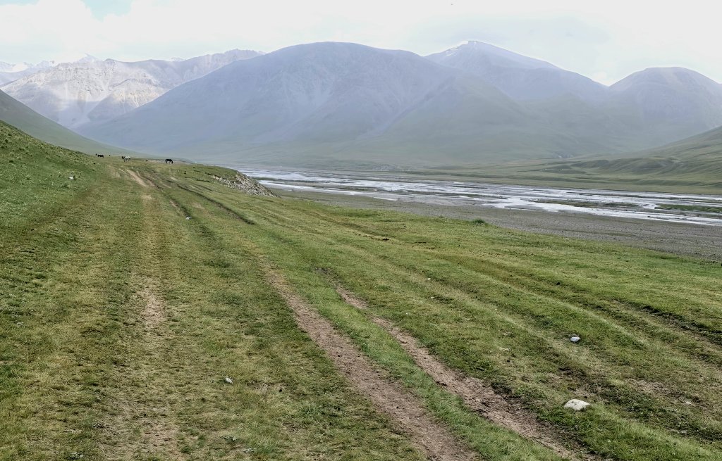
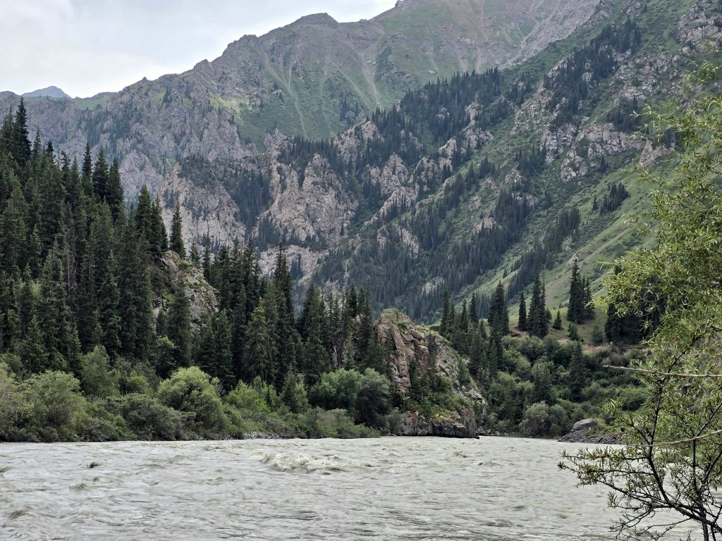
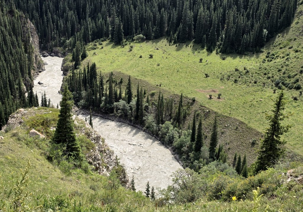
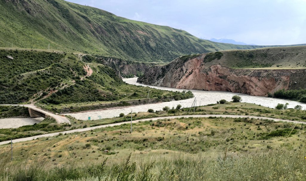
It rained heavily overnight, but fortunately we were warm and dry in our tents. However, the road had been turned into a muddy quagmire in places. The first 30km of the day had a lot of mud but I was able to get through it, albeit myself and the bike were plastered The road followed the river valley with a couple of passes to do on the way. Kyrgyz farmers were working in the grasslands, moving their animals around – cattle, horses, yaks and sheep. In the mid section of the day the road traversed several gorges.
I was pleased to get through this brilliant, but challenging section and took a rest day in Naryn. I have been struggling with digestive tract issues for over a week and wanted to give myself a chance to get over it.
FOLLOW THE JOURNEY
Thanks to ZeroSixZero, you can open this URL on your phone and select “add to home screen” and the map will become and app. You can then keep updated in real time: https://z6z.co/breakingthecycle/central-asia
TAKE ACTION
Support my Water.org fundraiser to help bring safe drinking water and sanitation to the world: Just $5 (USD) provides someone with safe drinking water or access to sanitation, and every $5 donated to my fundraiser will enter the donor into the Breaking the Cycle Prize Draw. https://give.water.org/f/breakingthecycle/#
EDUCATION
An education programme in partnership with Exploring by the Seat of Your Pants, with contributions from The Royal Geographical Society and The Duke of Edinburgh’s International Award Australia. We have created a Story Map resource to anchor the programme where presentations and updates will be added as we go.


Hi Kate.
Sorry to hear your gut issues are perhaps impacting on your enjoyment of this particular section of the trip. The scenery is stunning. A truly beautiful part of the world.
Stay safe and well to complete your dream.
Lindsey X