


Blog 17
9th – 12th June
Samarkand to Khisorak Settlement
Distance: 275km
Total Distance: 4890km
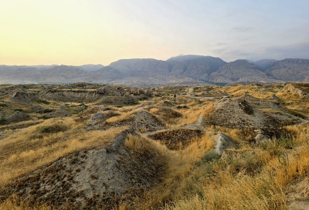
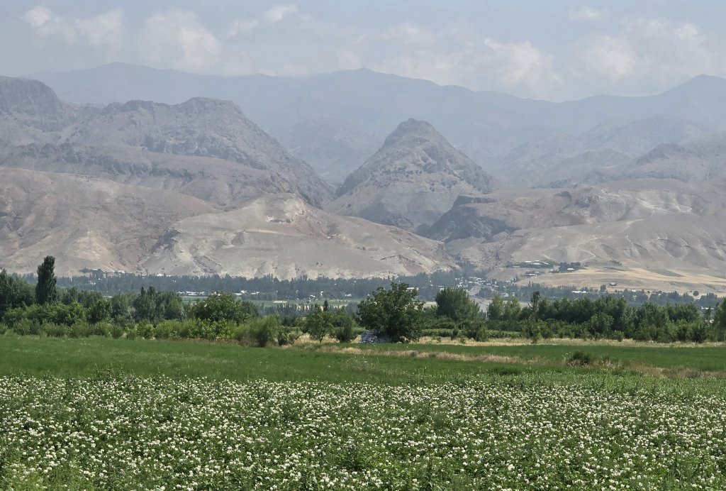
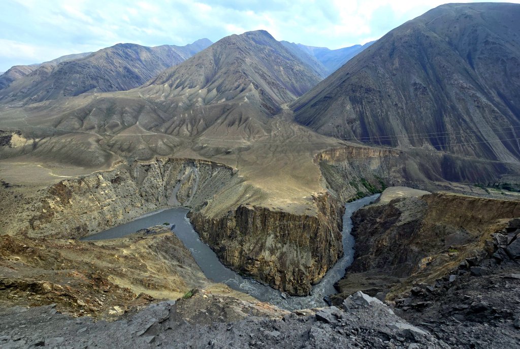
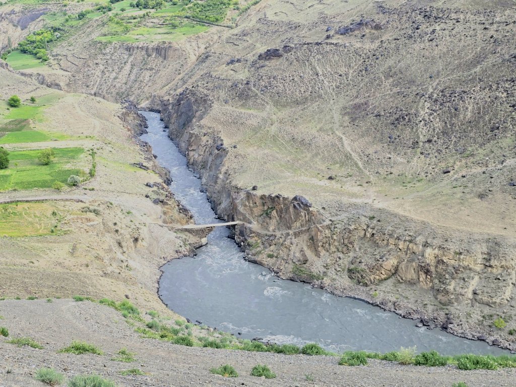
So far I’ve explored UNESCO’s Zerafshan – Karakum Corridor World Heritage sites in the Karakum Desert and Zerafshan River hinterland; a route of virtually all flat land. The final stage was to follow the course of the Zerafshan River into the mountains in Tajikistan all the way to the final site, Khisorak Settlement at an altitude of over 2400m.
Day 78: Samarkand to Panjakent (Tajikistan) – 61km
To my surprise, on the morning of our departure from Samarkand it was raining and, as I only had a short cycling day, we could afford to wait until the worst of the thunderstorm abated. Still the rain lingered for the first hour on the road and I had to keep my wits about me. The steady stream of traffic, especially the taxi mini buses kept me pinned to the crumbling potholed verge.
About 5km from the border we diverted through the backstreets of Jartepa village to see Jartepa II Temple, the last of the listed sites of the Zerafshan-Karakum Corridor in Uzbekistan. Amazingly, there were no signposts and we had to ask people where it was. There was no preservation work, the temple is being left to slowly erode.

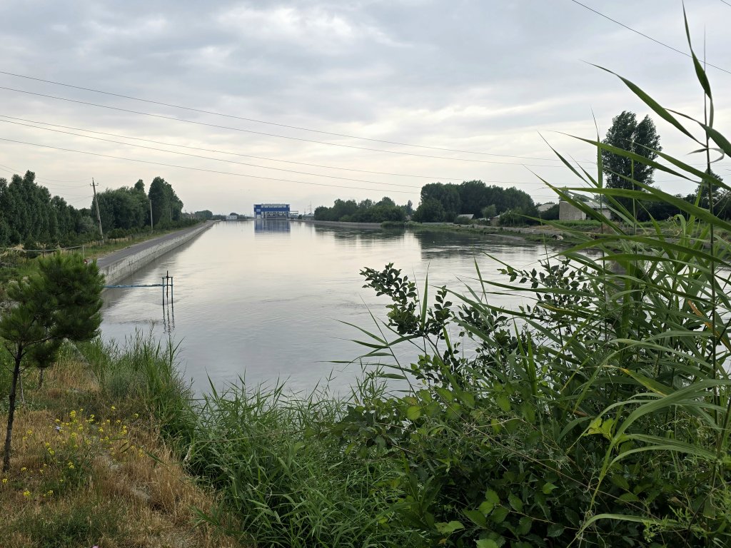
The archaeological site is an example of a Zoroastrian temple on the Silk Roads and an extramural Sogdian sanctuary built during the 5th Century, although it functioned for a longer period. Due to its location (one day route from both Samarkand and Panjakent and close to the head of the principal canal, Dargham) it was frequented by travellers, merchants and pilgrims, functioning as a ‘station’ on the Silk Roads. It was probably connected to the establishment of the cult of Nana and was a part of a network of Zoroastrian sacred places that emerged on the Silk Roads in the 5th Century. Before the 5th Century, the site was a fortress, connected to the river, the canal and the irrigation system.
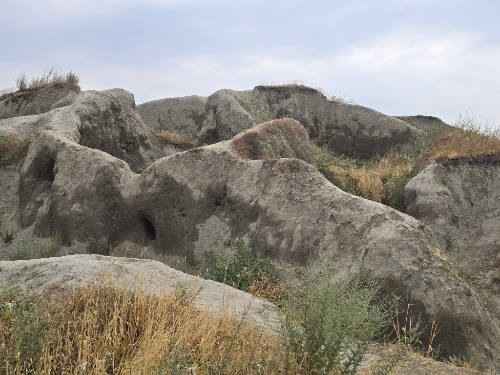
The temple was only small and quite different from any of the other sites we’d seen. Anna and Sasha discovered a small opening at ground level to a tunnel and Sasha decided he would crawl into the cave to explore. All was fine until he emerged covered in tiny ticks feasting on his head and back. Anna spent ages physically removing the blood filled tiny ticks – not a nice experience for Sasha.
The border crossing was refreshingly simple and we were through in 30 minutes! Karim, our driver/guide was waiting for us. He will be with the team, not only for this short Zerafshan section, but the whole journey through the Pamirs starting from 20th June.
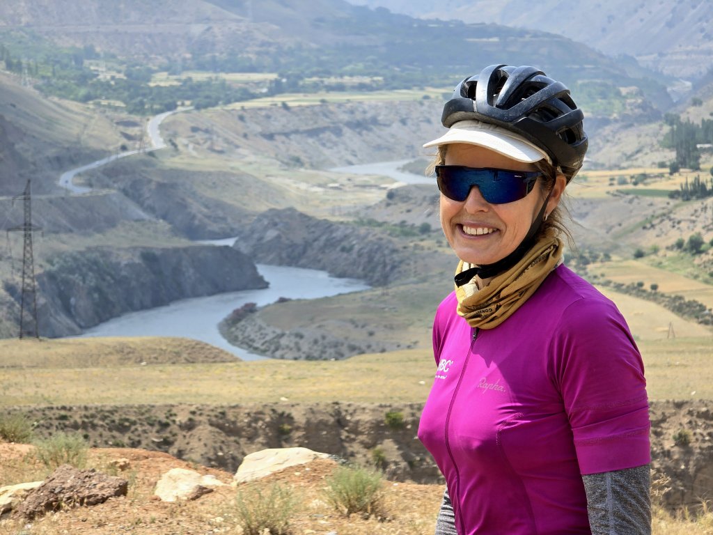
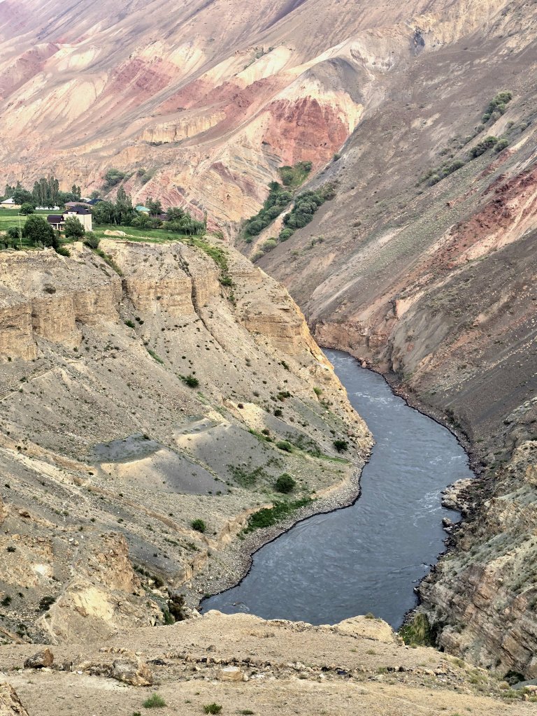
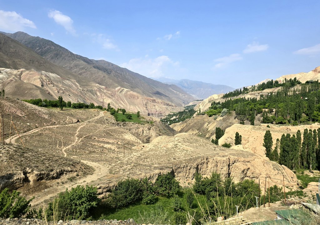
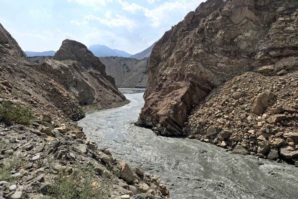
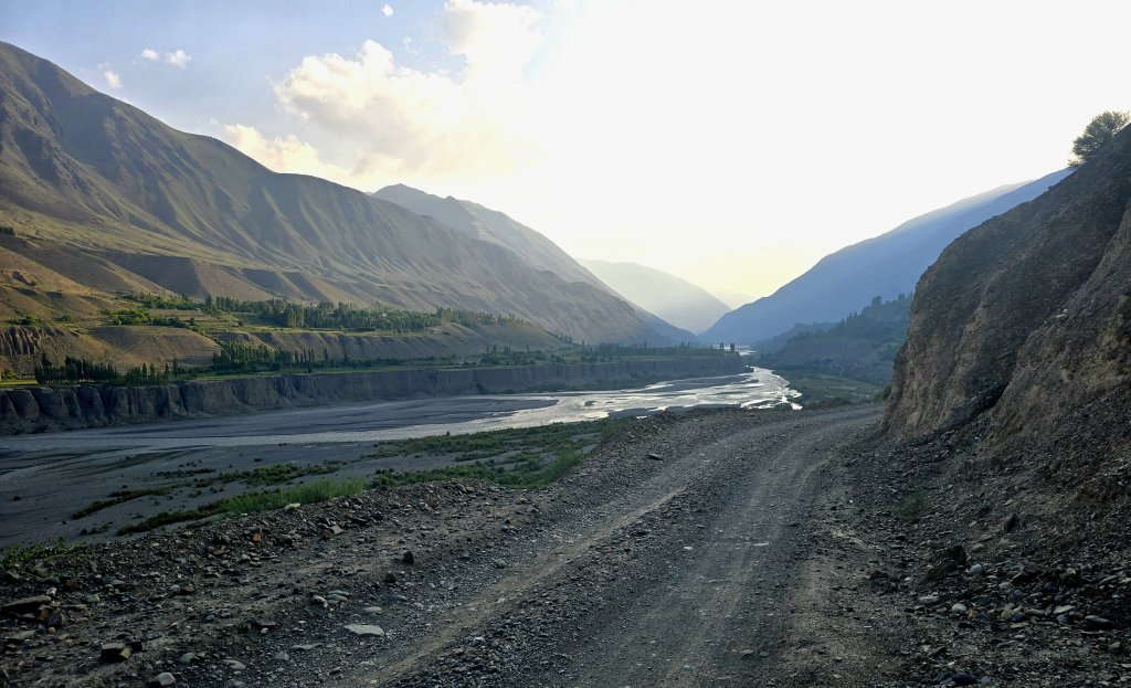
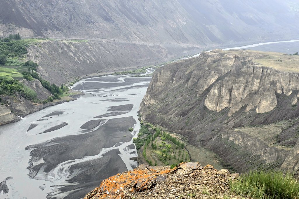
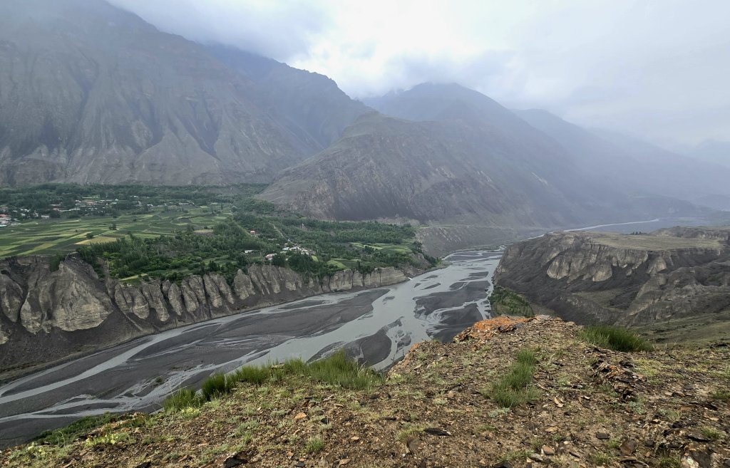
Entering Tajikistan, immediately the landscape changed; the river was flanked by a wall of mountains either side. It was an easy ride to Panjakent – a short day because I wanted time to see one of the major sites listed in the Zerafshan Corridor – the ancient archeological site.
Panjakent was an important political, economic, cultural, religious and military centre. Over the last 75 years, more archaeological discoveries have been made on this site than any other Sogdian site. Major works of art were discovered not only in the palace and temples, but also in the houses of city folk, including the rich merchants active on the Silk Roads. Excavations have revealed complete residential blocks, streets, temples, a citadel, palace, suburban villas and necropolis. Many houses were of two or three floors, with complicated architecture and decorations. The finds from Panjakent show trade and cultural relations with Persia, India, the Turkic steppe, China, Byzantium, and later Arabs. Zoroastrian was the core religion with major influences from Mesopotamian, Greek and Indian creeds. There were Buddhist and Christian minority communities as well as a Muslim presence after the 8th Century.
Day 79: Panjakent to Guzari Bolo village – 113km (1729 vertical metres)
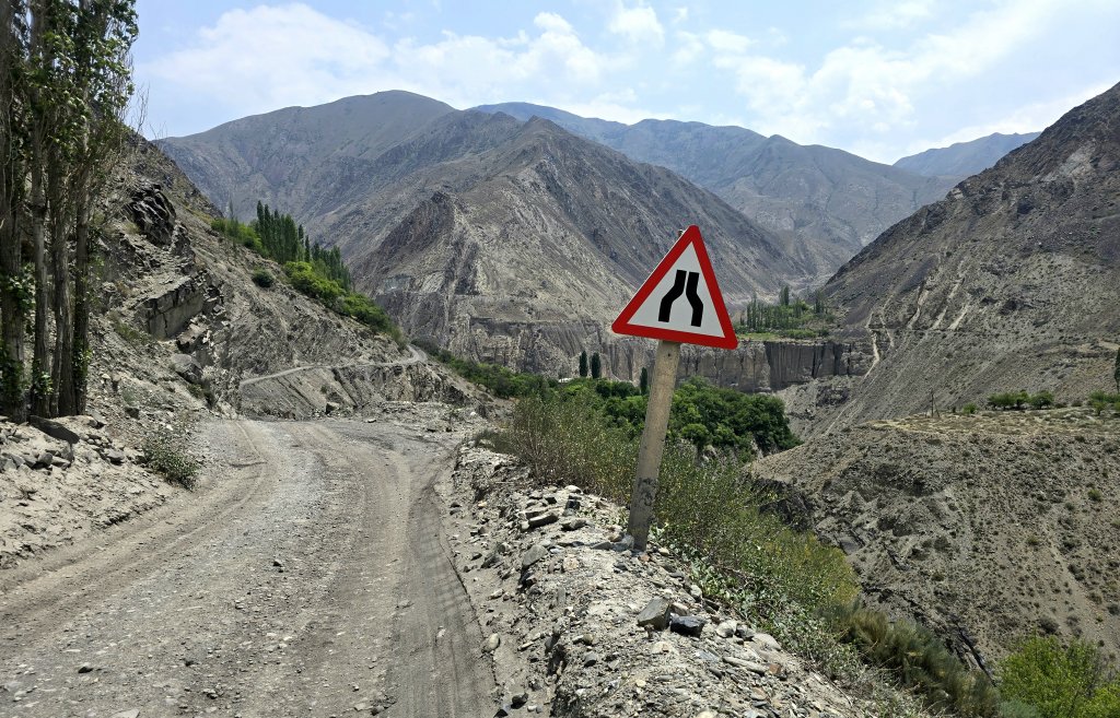
However, as the valley narrowed, the climbs started to become steeper and more challenging.
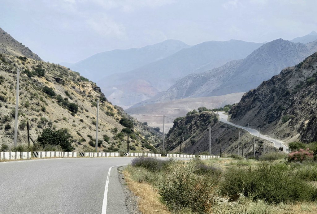
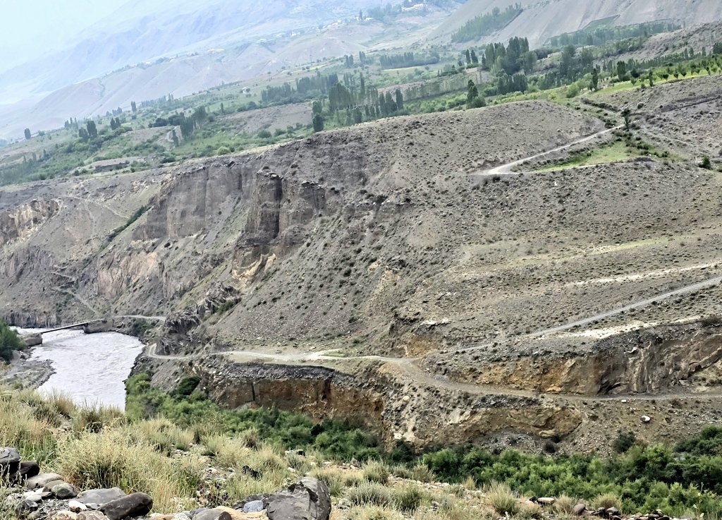
After the junction, I was onto a very different road. Some of it still had pieces of asphalt that had not been repaired since Soviet times. Very quickly it became a rough gravel track with loose stones that rolled under my tyres on the steep climbs. A big challenge. The gradients were steeper too, often reaching 10% and at times even 15%.
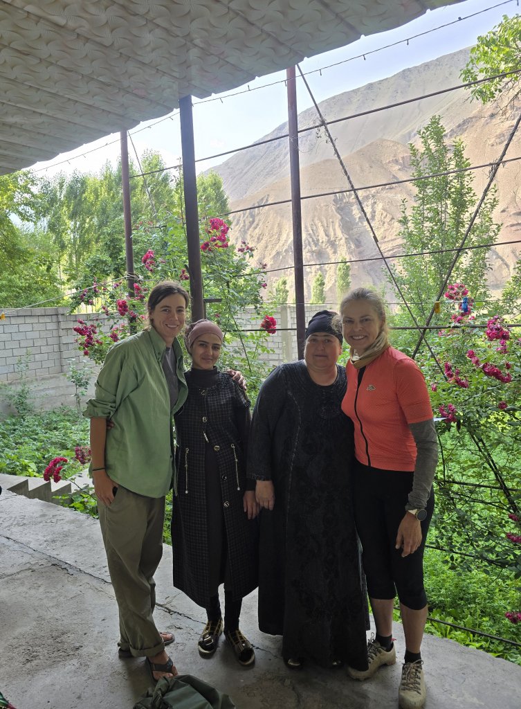
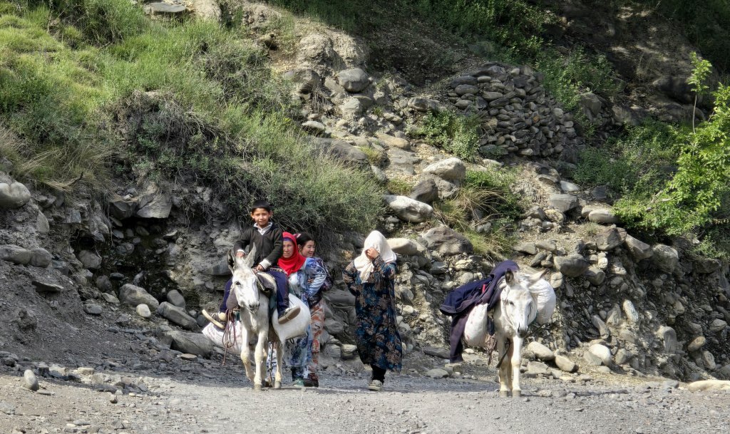
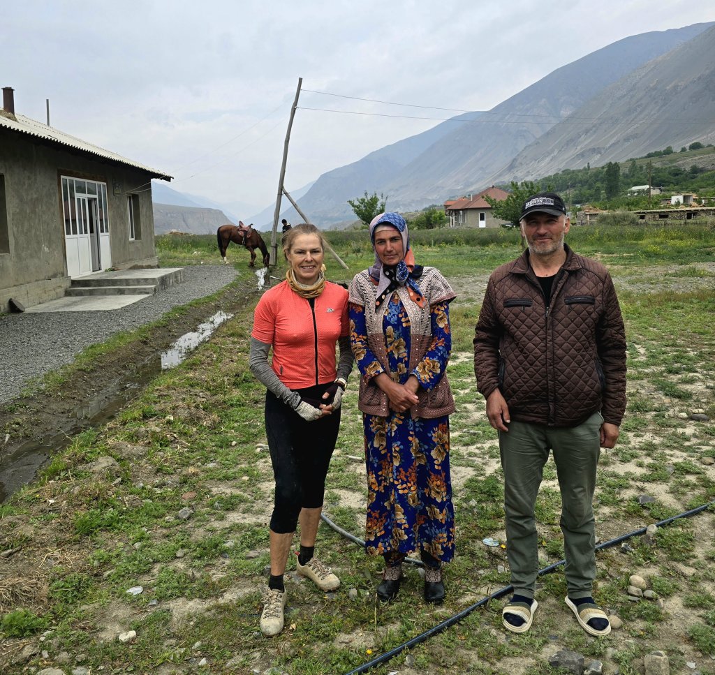
At this stage it was getting late and the sun would soon set. Karim started asking people where we could stay – there was no level ground to camp and no guesthouse accommodation. A few kilometres and some steep climbs (to really finish off my legs) later, and after asking many villagers, we ended up at a village called Guzari Bolo. By the time we had cycled/driven through the narrow lanes, a group of townsfolk had gathered, all trying to help us. There was a place where we could have set up, but then the shop owner, Anora, offered for us to stay at her place.
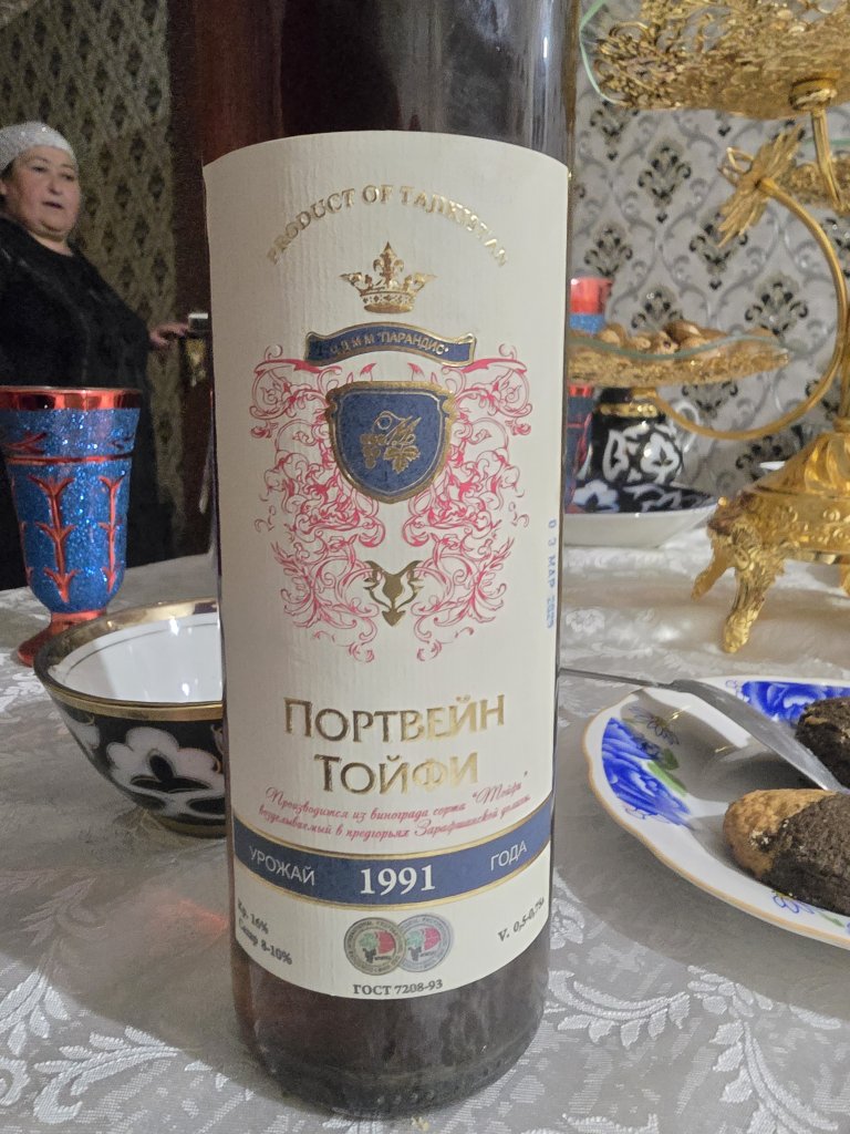
Up a narrow walking lane and tucked behind some homes, Anora’s place was much bigger and well set up than I expected. They had a huge kitchen garden with a stunning view. She immediately had tea on the table and an assortment of nuts, fruit, tomatoes, bread, sweets and chocolates to snack on. Earlier that day, Karim had stopped at the winery and bought a bottle of Tajikistan wine.
Day 80: Guzari Bolo to Madrishkat – 91km (1690 vertical metres)
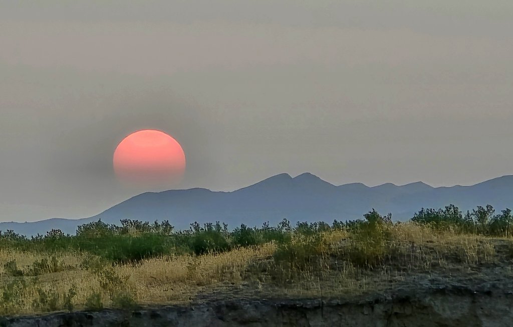
Having had such a tough ride at the end of the previous day, I was primed for another big challenge. To add to the poor quality road, the route was very busy with mining trucks. Over the last five years, two mines have opened by the Chinese, a coal mine and a gold mine. I think it was mostly trucks laden with coal that we encountered. The road was narrow and the trucks took up the full width. It was very disconcerting when I was trying to maintain my balance on loose stones and extreme gradients, to also avoid coal trucks. Many of the truck’s loads were uncovered and occasionally coal was spilt over the road. It had also rained a little over night making the path muddy in places. I was a mess by the end of day two of this section.
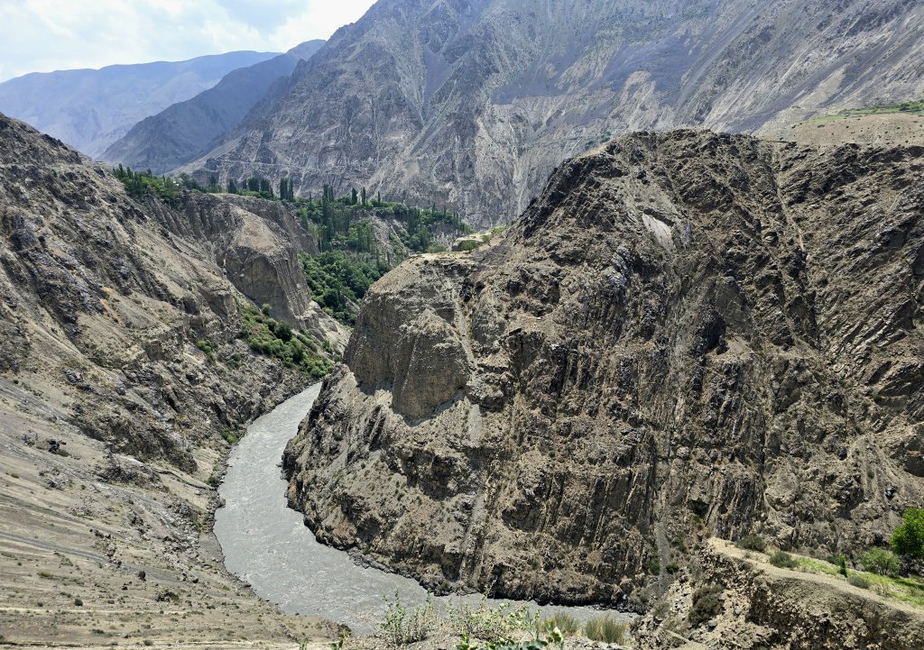
I had hoped to make it all the way to Khisorak Settlement on Day 2 of this section, because we then had to travel to Dushanbe the next day, which was going to be a huge drive. However, it was just not possible. I got pretty close, within 10km, but we had run out of light and knowing that the finale was going to be a massively steep climb, we made the decision to stop and ask around at a village to see if someone could put us up for the night. I had covered 91km in 8.5 hours at an average of 10.9km an hour! Even on the downhills I couldn’t go fast because it was way too rough and dangerous.
Day 81: Madrishkat – Khisorak Settlement 10km
From Khisorak it took over five and a half hours just to return to the highway junction 120km away and then a further three hours to drive to Dushanbe. We needed to get there to drop Anna off, as she has finished her five week section of the journey, and I needed to organise a few details for the Pamir section, coming up, because it starts in a remote area that requires permits back down near the Amu Darya, a week’s cycle away. The following day, Karim drove me back to the Panjakent border, where I crossed back into Uzbekistan to continue the journey. I was met by Georgia who is back from the UK after a 5-week break and an Uzbekistan team, Ilhom and Mansood. – heading south to the Amu Darya across a land that was in ancient times, a part of Bactria.
FOLLOW THE JOURNEY
Thanks to ZeroSixZero, you can open this URL on your phone and select “add to home screen” and the map will become and app. You can then keep updated in real time: https://z6z.co/breakingthecycle/central-asia
TAKE ACTION
Support my Water.org fundraiser to help bring safe drinking water and sanitation to the world: Just $5 (USD) provides someone with safe drinking water or access to sanitation, and every $5 donated to my fundraiser will enter the donor into the Breaking the Cycle Prize Draw. https://give.water.org/f/breakingthecycle/#
EDUCATION
An education programme in partnership with Exploring by the Seat of Your Pants, with contributions from The Royal Geographical Society and The Duke of Edinburgh’s International Award Australia. We have created a Story Map resource to anchor the programme where presentations and updates will be added as we go.


Your journey continues to be really interesting, showcasing a unique and largely unseen part of the world. Beautiful photos of the architecture and mountainscapes. You are amazing in coping with the challenging roads and routes. Go well …
Leanne